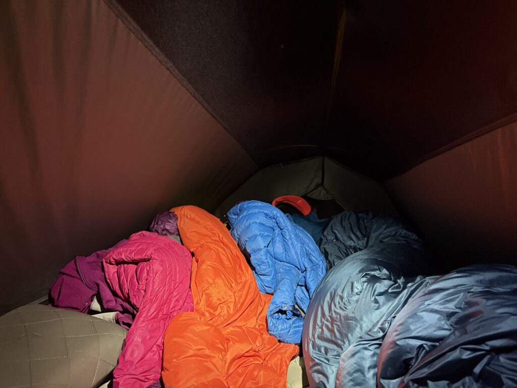
“Who the hell lets their kids run around a campsite screaming at half past one in the morning?” was the thought in my head at half past one in the morning. After dinner the rain had started, which turned out to be a gentle warm up because the weather raised its intensity step by step, almost as if it was testing the limits of the tent. Water flooded down the roads, the grass slopes of the campsite, and there was a curtain of water falling in the doorways to the shower block. The tent did very well. We stayed dry. But tired. The crows woke us at 6am with a range of personalised caws. One sounded exactly like an alarm clock and I awoke with no idea of where I was.
It was all made up for when a lady (I think from France) came over to us as we were packing away in the morning to check that we were ok after the torrential rain and offered us breakfast in their gazebo. They were a group with large tents and a large covered seating area. I had a chat and talked about the thunderstorm of two days ago and how cozy and dry our tent was. I thanked her as much for her kindness as for the offer itself.
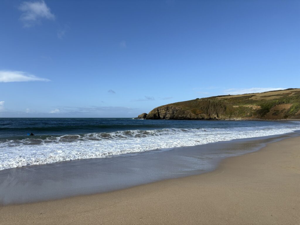
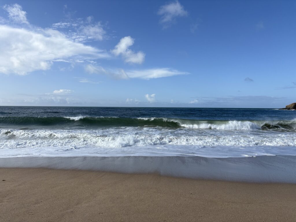
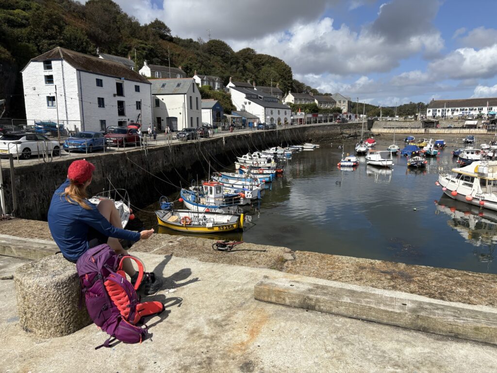
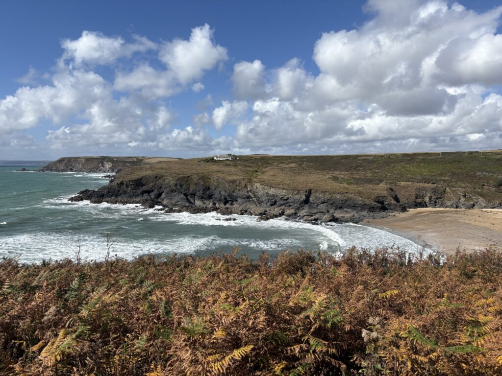
Rolling down the daily tarmac slope back to the South West Coast Path we were given Praa Sands with an early morning sun over waves thumping into the sand. Surfers were trying to make use of the swell but waves were close to shore, clean, steep and difficult to get up on. We walked along the soft sand a little while but climbed up to the dune paths before cliffs formed that would cut us off.
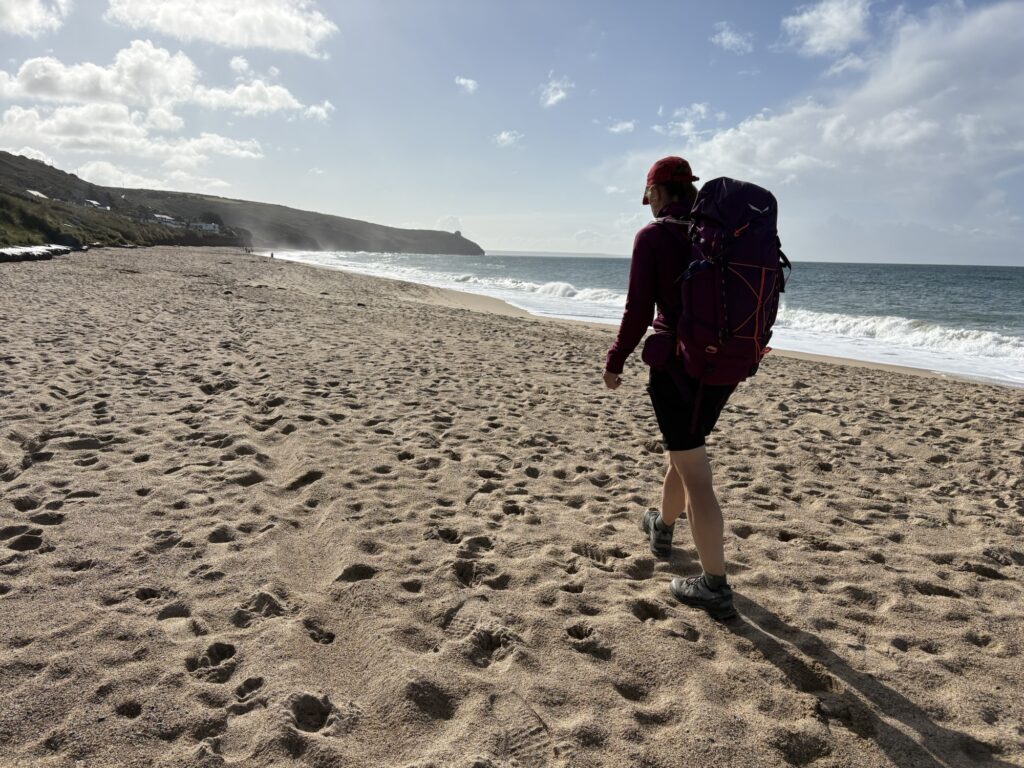
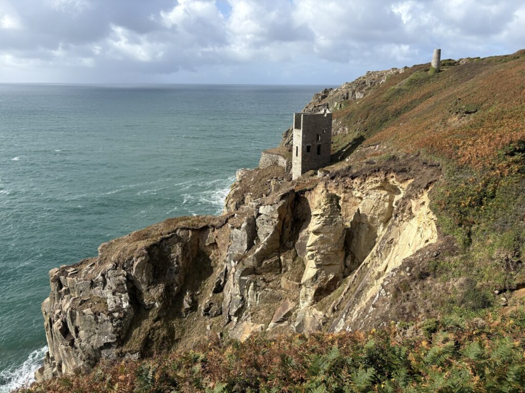
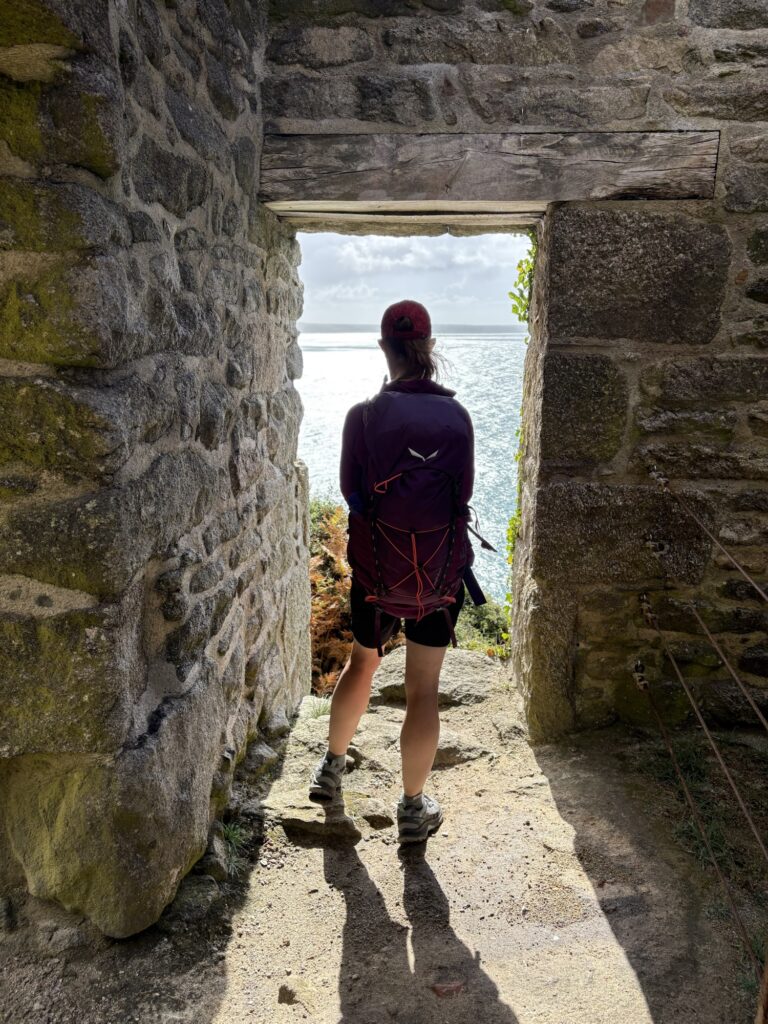
The path was steady, easy and good. The land was low lying around the coast here and the climbs never needed to take you very high. We had a nice surprise rounding a headland finding a collection of old mineshafts and engine houses perched on the top of the cliff and low down by the sea. The path meandered through them and walking an easier day meant we had as much time as we wanted to look.
It was one of those breezy days where the wind kept changing the weather. Jackets on and off, I swear that at one point it was raining on the backs of my legs and sunny on my head.
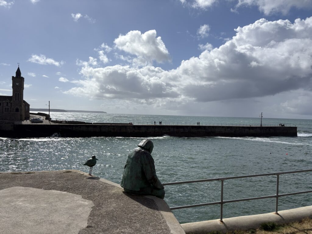
It was easy and pretty all the way to Porthleven, which, like many places you look at on the map, was much bigger than expected. We found an excellent cafe by the harbour and even Kim had a full English for second breakfast. The chef was not happy with how the bacon was cooked so cooked some more and gave us it all. It was all eaten.
We spent time in the cafe making plans for the final few days of walking and booking campsites. I booked one in completely the wrong place because of an error on Apple Maps. I have become used to triple checking this sort of thing. There is strong motivation to turn up at the right place at the end of the day. Every extra kilometre at that stage is unwanted.
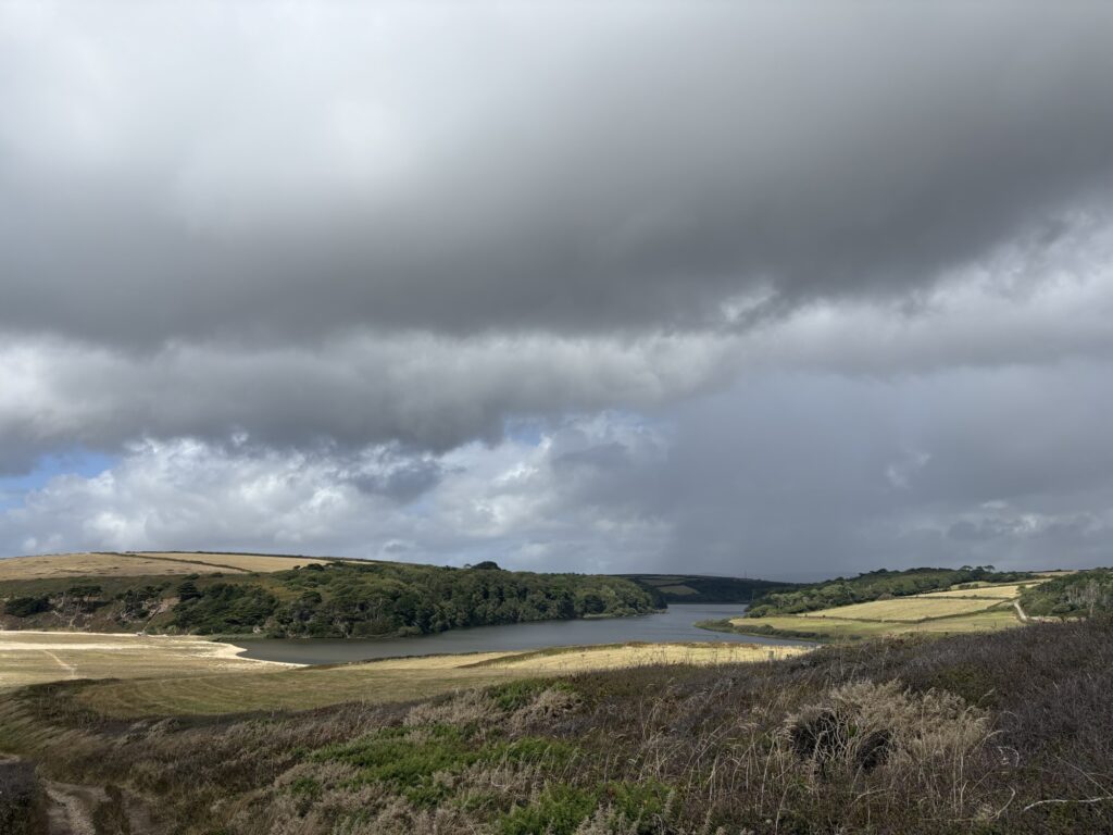
Porthleven Sands stretch for a handful of kilometres south east to Gunwaloe Fishing Cove. Part of it forms Loe Bar: a steep, high section of tiny, sea-rounded stones that are not yet sand. Loe Bar holds back from the sea the waters of The Loe, the largest freshwater lake in Cornwall. We walked across Loe Bar and our shoes filled with tiny shingle.
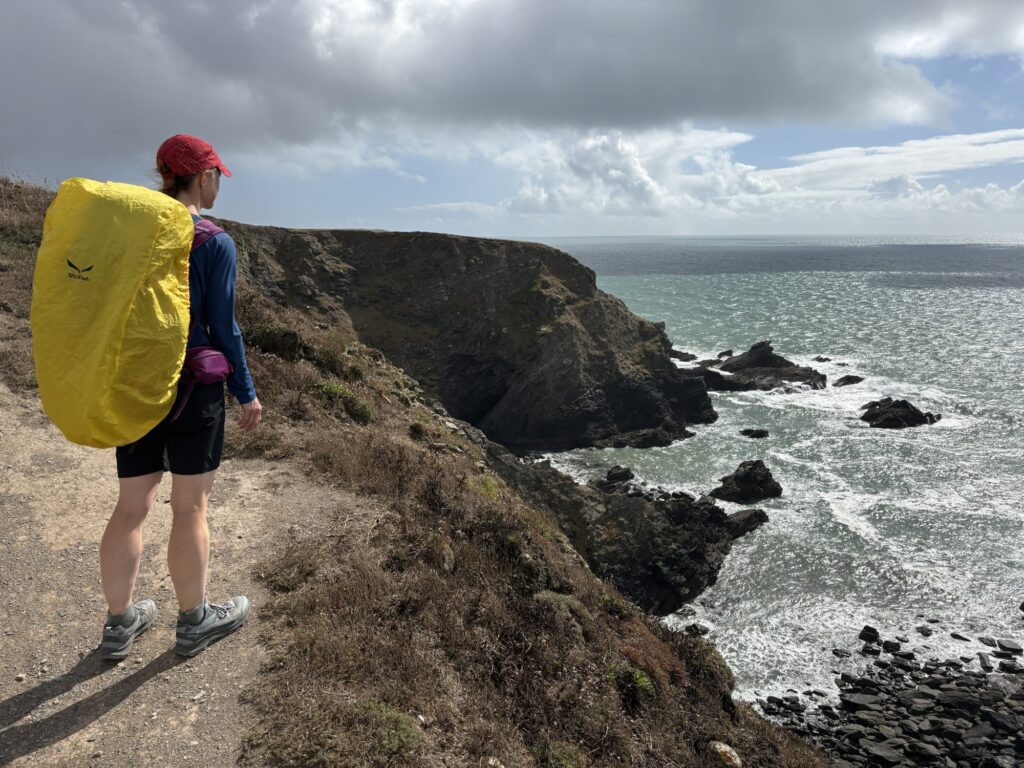
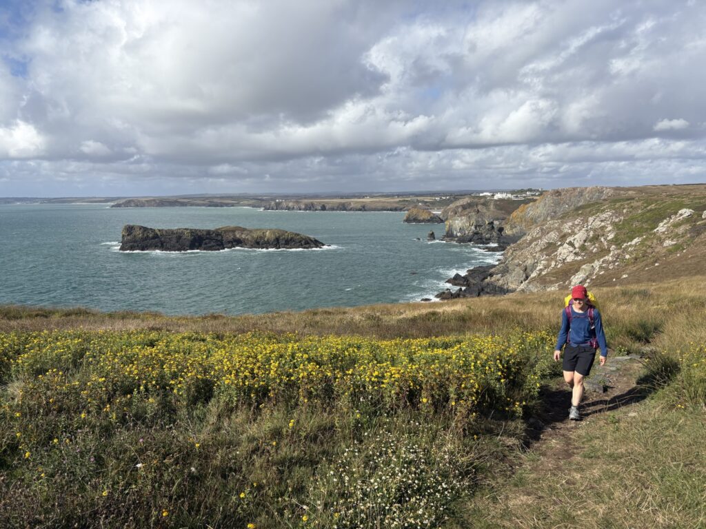
The path continued to be reasonable and level-headed but the wind wanted to mix things up a bit. it strengthened as the day lengthened, amplified by gullies and cliffs. It started by just pushing us sideways a little to try to get us to lose balance but later it tried to steal our hats.
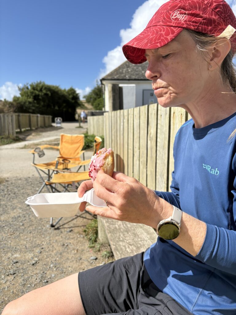
I was sleepy on my feet for some reason. We stopped for doughnuts.
To Poldhu Cove, which I imagine means the same as Pwll Du Bay on the Gower in Welsh (black pool) but pronounced differently. Much of Cornwall, but especially this far south, was historically separated from the rest of England over land by geographical distance and poor cart tracks. It was far easier to travel by boat, meaning a closer connection with Wales than with much of England.
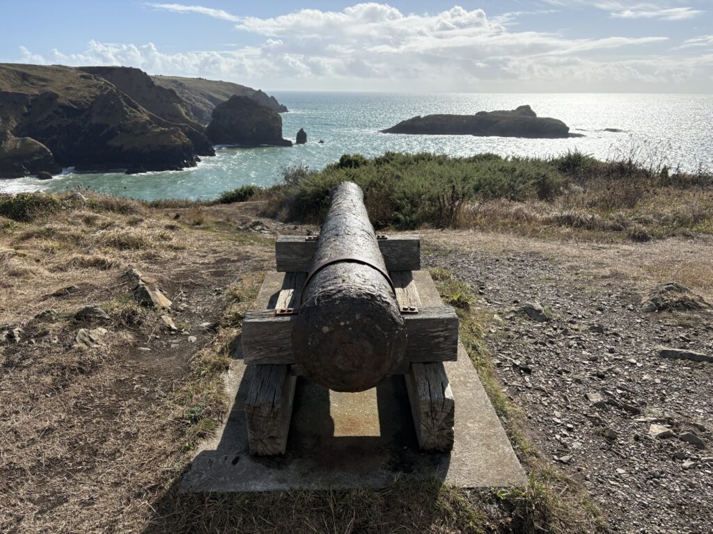
Our marker for the day was Mullion Cove and it had a hotel with a canon on top of the hill. Maybe the owners are from a long line of smugglers as this was prime smuggling territory in the 1700s. Maybe tunnels link caves to pubs here.
But we were to continue past Mullion Cove and around the next headland before moving inland to the National Trust’s Teneriffe Farm campsite to add miles to a shorter day. The more kilometres I walk today, the fewer I will have to walk tomorrow. Kim was thoroughly annoyed by the wind by this point and glad when we moved away from the coast. Shorter days still make your feet sore.
We arrived early enough to be greeted at the campsite reception, unusually for us. We were well looked after and bought all the food we liked the look of in the shop. I wish I had bought a couple of beers too now. The tent was pitched in a sheltered location (we were given options) arse into the wind making the tent warm and the vestibule easy to cook in. We ate all the biscuits and made coffee.
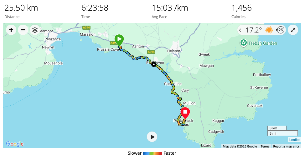
25.5km and 1000m of ascent.