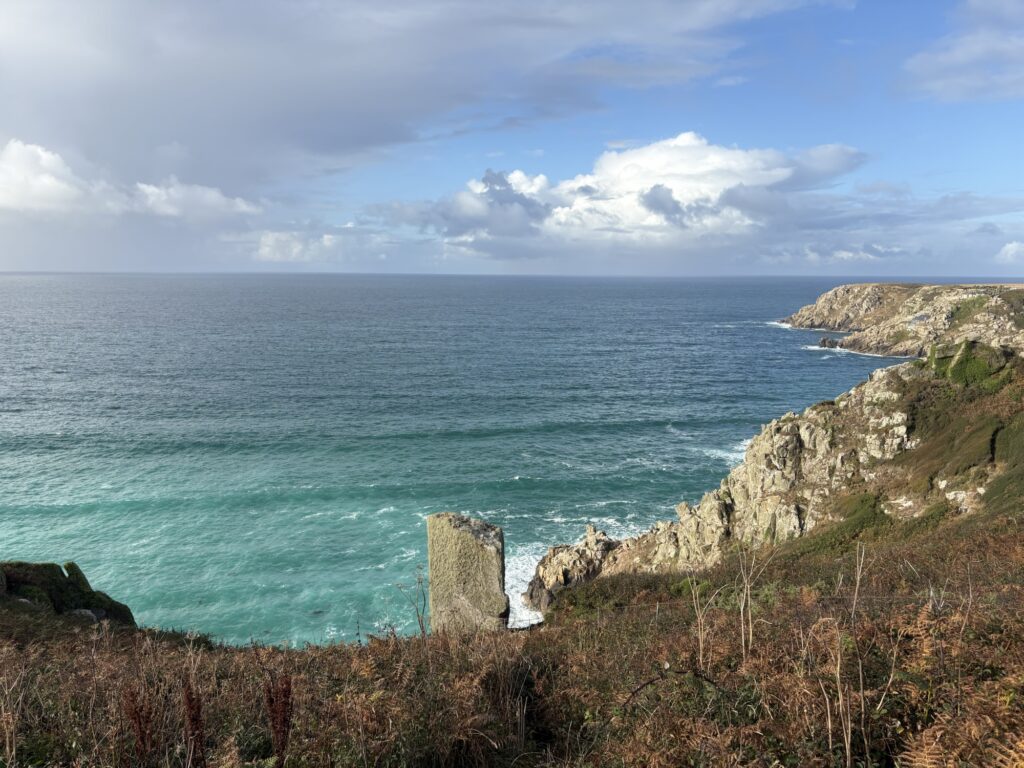
Rain was forecast to bookend our day to start us off soggy when we were to decamp and pack away, and then to soak us again when trying to set up camp later in Praa Sands. The campsite above Porth Curno had a large inside area that would help, with few other campers about when we leave. Instead we woke to sunshine with merely patches of cloud and showers out to sea. We were camped up high and could see to the horizon. Bonus. We breakfasted and hurried to take advantage of the dry tent.
We had both independently picked the same next campsite from the OS map. It looked the right sort of distance and close to the path. We guessed at 34km and the path would be flat around the huge bay of Newlyn and Penzance so we should make good time.
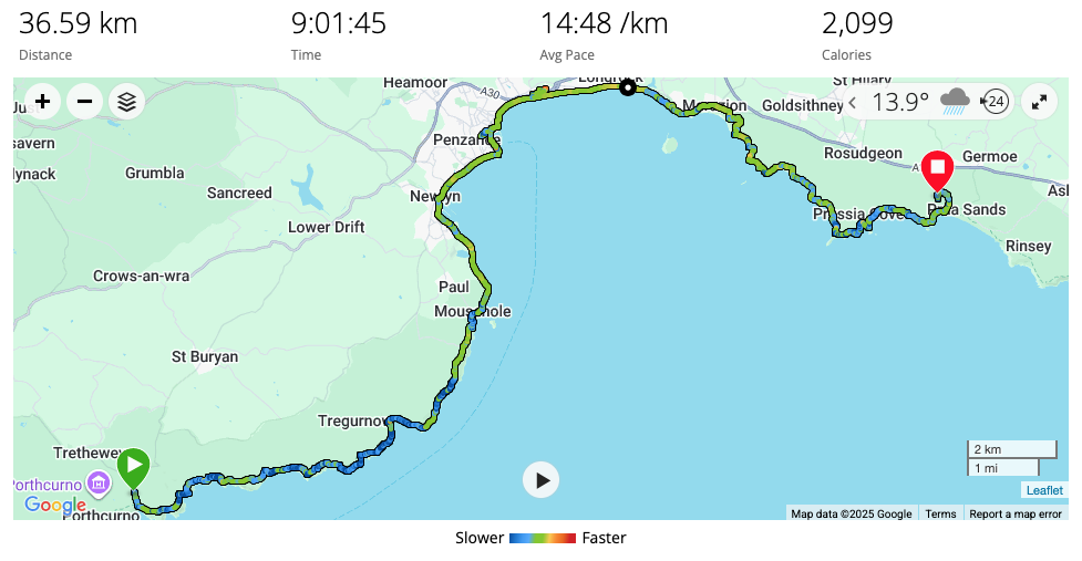
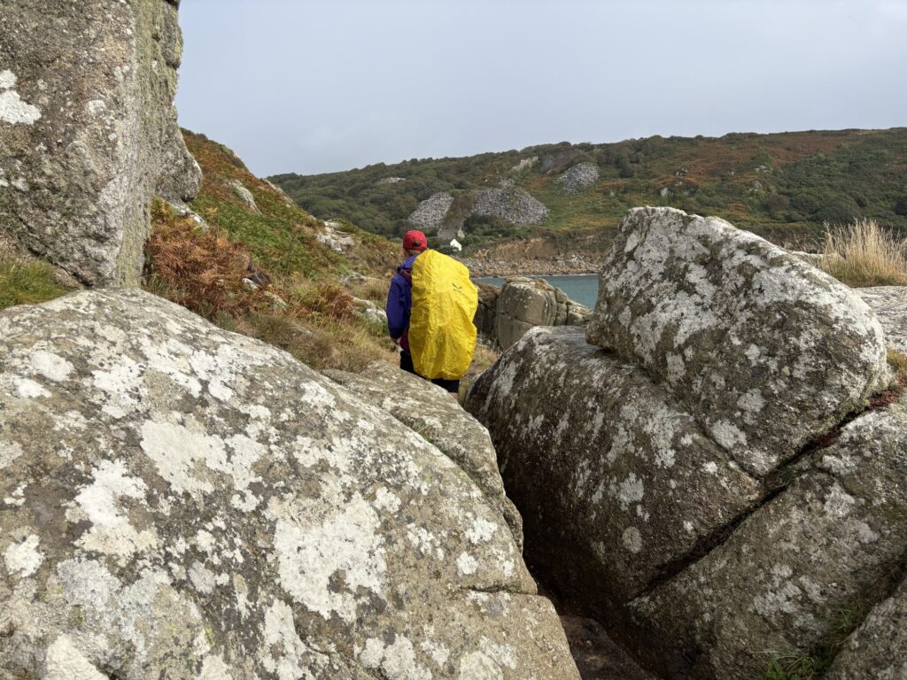
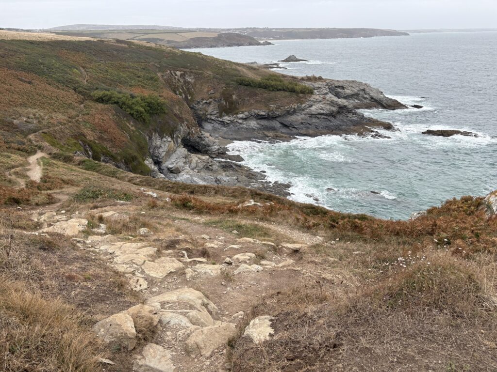
The first section of coast path to Lamorna and on to Mousehole (Mawzer, locally) was unexpectedly rough. The granite continued around the coast here giving those classic Cornish rock climbs. Abrasive, cracked but solid in huge rounded blocks. The paths also had the granite treatment, interrupting it and giving clambers and scrambles, awkward boulder hopping or sliding down trying not to rip the arse of your shorts out. It was slow going and tiring, even with our current fitness. A steady flow of boats passed from east to west out to sea from Newlyn or Penzance.
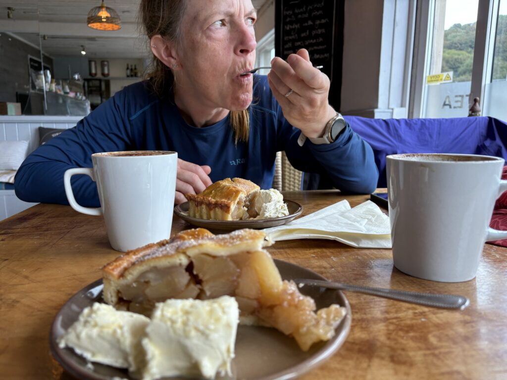
It took us over two hours to get to Lamorna. Luckily there was a very expensive cafe there with a large selection of cakes and fancy lunches. Walking eight to ten hours every day puts new values on food and I barely even noticed the cost of the two apple pie slices with clotted cream and large cappuccinos. Because Kim paid.
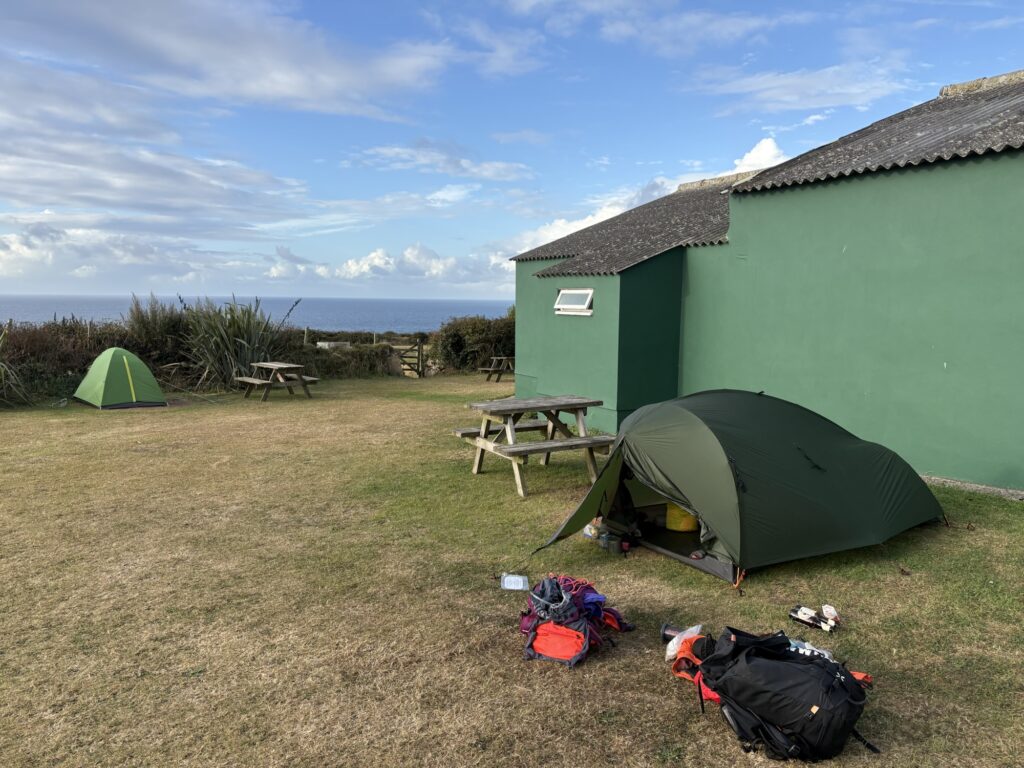
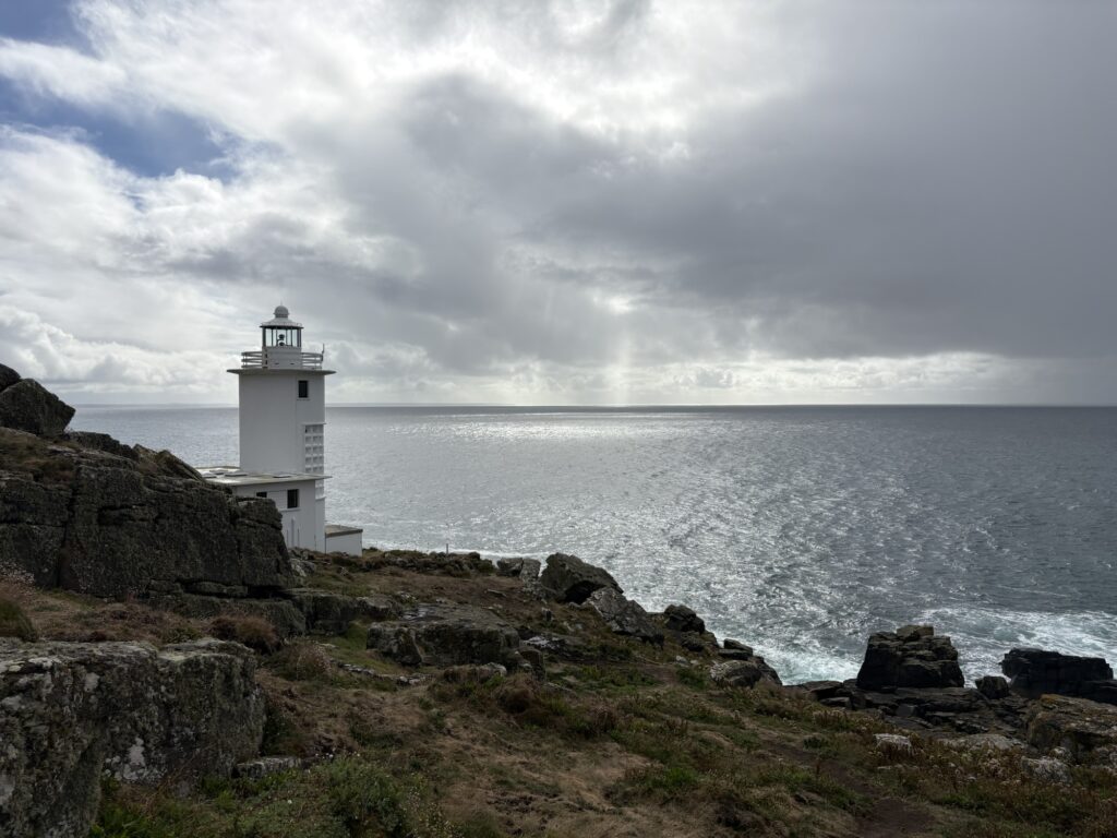
The path had been shabby and collapsing in some places, leaving steel rods in the ground that used to support steps now only there to trip and impale you. A new section had been added that took us down to the lighthouse at Tater-du. It’s a fair addition and gave good views of the lighthouse appearing from the crags but the extra descent and climb were received grumpily.
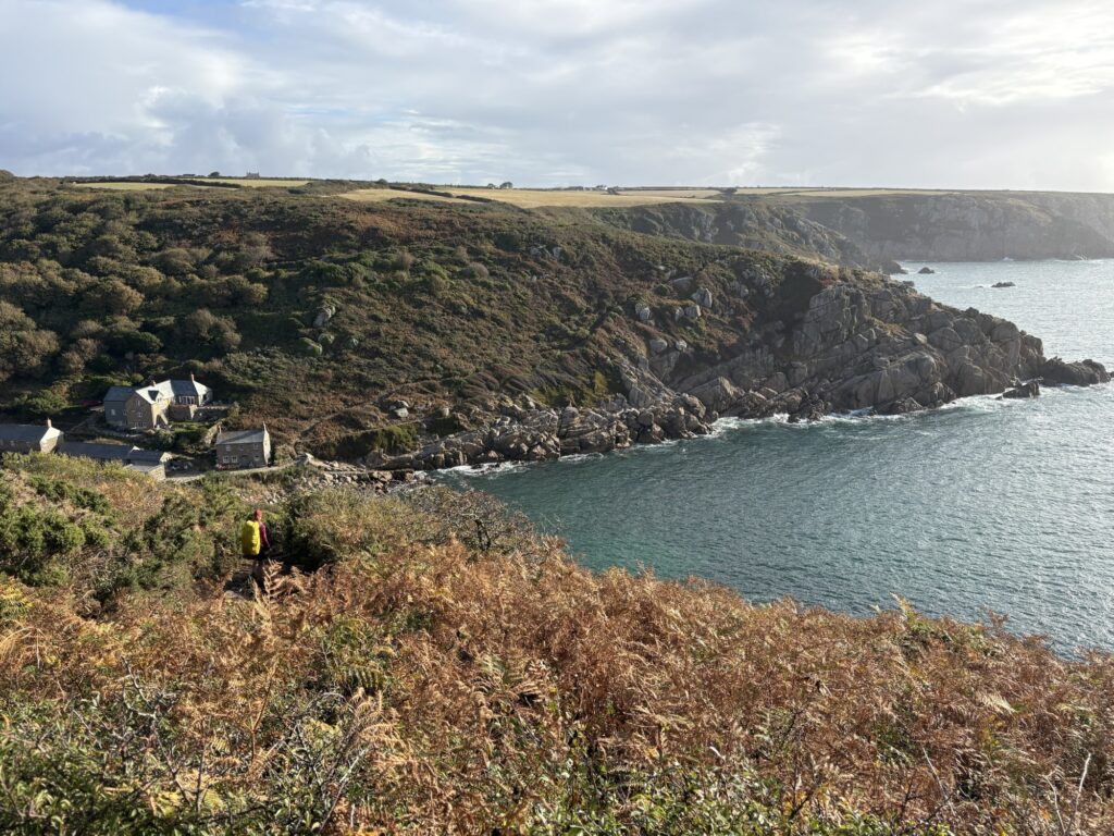
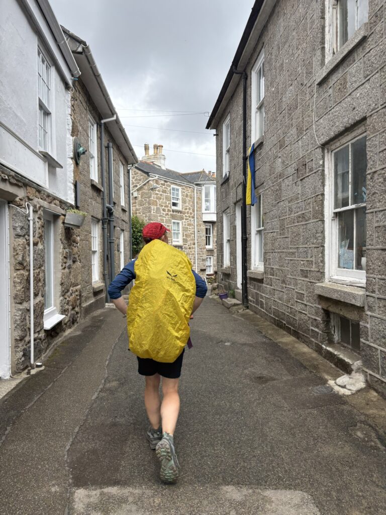
At Mowser we hit the road and stayed with it or near it all the way around the bay. Mowser was beautiful, idyllic old Cornwall. Tiny streets, small stone houses, a working fishing harbour, galleries and pubs. Look in any direction and you would find an interesting alleyway or architectural feature. The origin of the village name is uncertain, but a sea cave a little up the coast is named Mousehole.
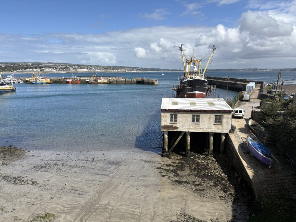
A large cycle and pedestrian path beside the main road took us around to Newlyn. We could see St Michael’s Mount across the bay. Newlyn blends with Penzance. Each has a harbour, and Newlyn’s is surrounded by marine and fishing businesses. These towns are quieter than the other towns that we have walked through in Cornwall. Newlyn is old buildings and pubs, almost a larger extension of Mousehole.
In Penzance we went to find some gas for the camping stove, plasters for Kim’s feet and a little more toothpaste. We really did pack light if we’re running out of toothpaste. Kim got a discount for being a beaver scout leader and had a good natter with the guy in the shop, himself a cub scout leader. A bit of a deviation and feet were getting sore from the tarmac. Back to the path and pace.
The path has some concrete sections beside the sea, some squeezes amongst road traffic on narrow roads and finds its way around and alongside the railway. It does its best to make itself interesting. It’s probably an enjoyable cycle path. Over a railway bridge we relented and went to a retail park to find coffee, food and rest feet. It sucked a bit.
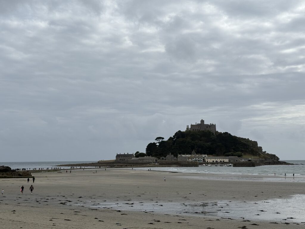
Sucking it up ourselves we got back to the last section of tarmac., with a little bit of soft sand, to get on to Marazion and around St Michael’s Mount. The mount is a tidal island reachable by causeway or ferry depending on the tide. It used to hold a monastery and subsequent religious buildings but now has a castle on it. Another long distance path ends at the mount – the St Michael’s Way pilgrimage. You can pay a fee and visit. We have done in the past so kept going as the day became greyer.
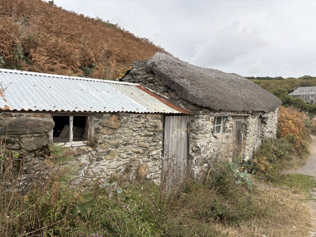
Tired with sore feet we zoomed along as the coast path again became a trail. It followed contours as best it could, the coast lower here than on the other side of Mount’s Bay. The path was good, well used by dog walkers mostly and we made good time. We passed small bays and promontories protected from the swell. Old buildings surprised when they appeared, some of them thatched and built from very old stones.
At the turn to the path for the campsite the path did not exist. So we had to follow the tarmac road up and around to the entrance, not managing to skip this part of the day we never look forward to. We pitched the tent, chucked everything in, cooked and ate dinner and biscuits before the rain caught up with us. We had been faster.
36.6km and 1077m of ascent.