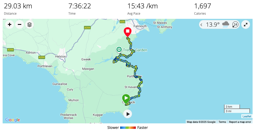
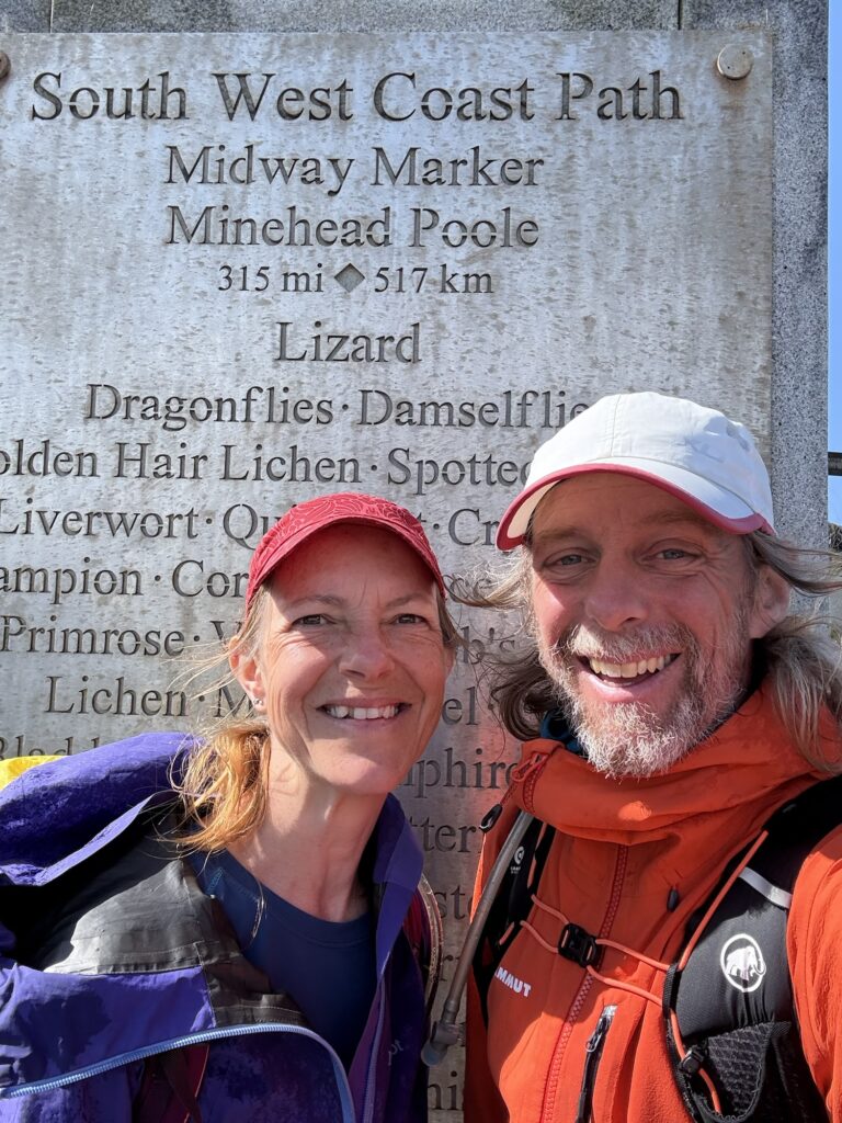
From our camp in Coverack we just needed to head north up the Cornish coast a little way, less than 10km, to reach our main goal: the halfway point of the South West Coast Path. When we started in Minehead it had seemed forever away and an improbable distance. When we entered the estuary at Braunton, Barnstaple and Bideford it felt like we would never get far enough down the coast in time. Time was the limiting factor – we could only take so much time away from work.
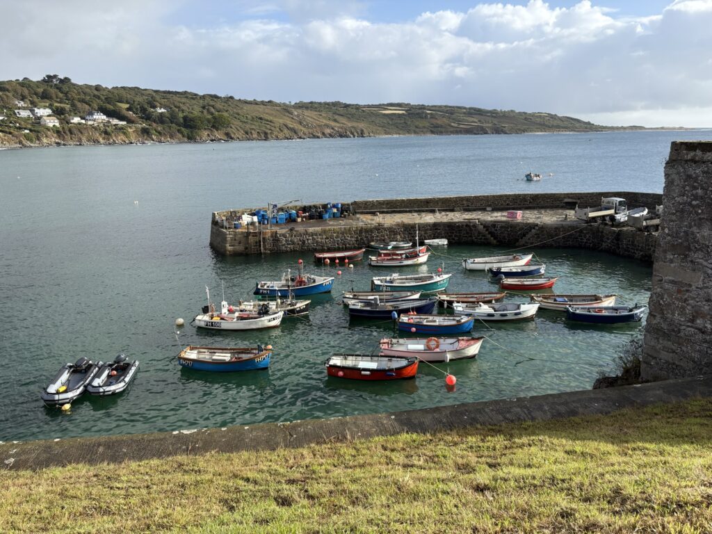
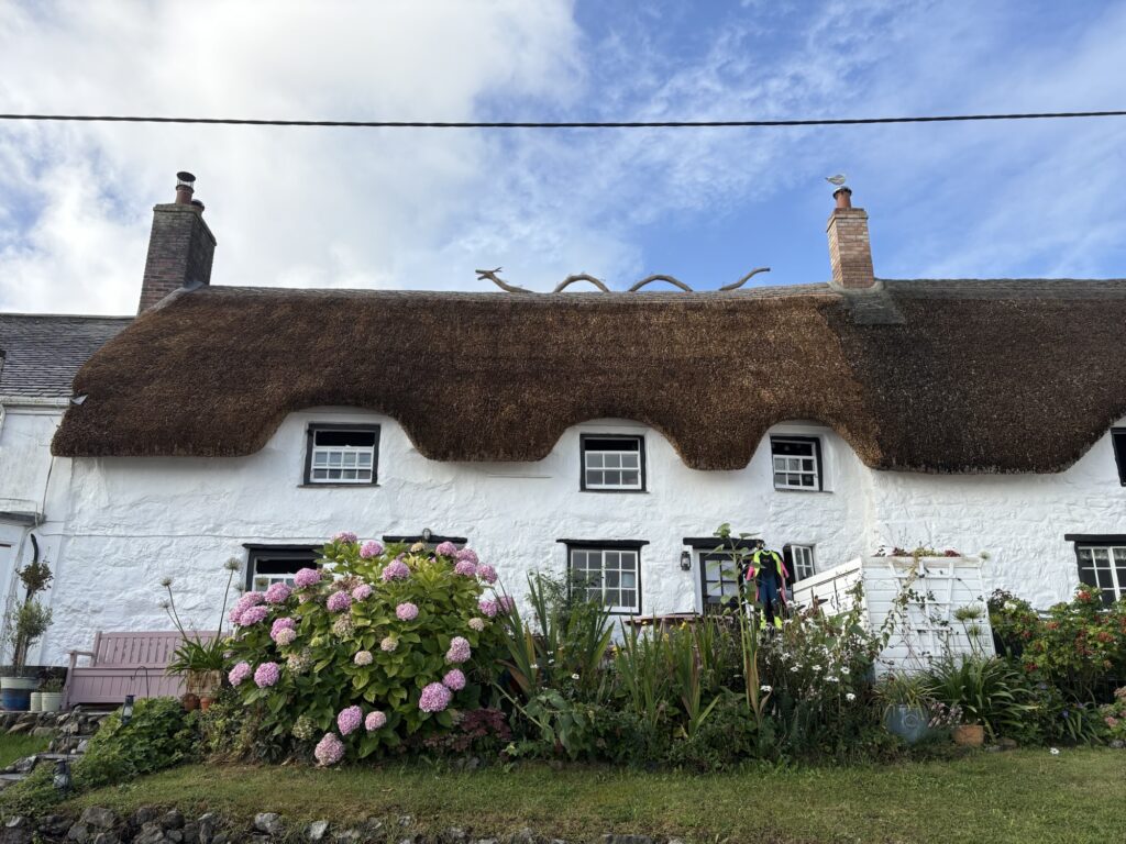
Most things had dried out from the rain of yesterday, largely by wearing it until it was dry again. Packed and descending the hill from the excellent Coverack Camping we were dropped into a quiet, colourful, thatched Sunday morning village and fishing harbour. Passing the village shop that was not yet open the owner unlocked the door and asked if we needed anything. This typified everything we have experienced along the path and a chat followed. We have been very well looked after by everyone we have met as we travelled the coast. People want to help.
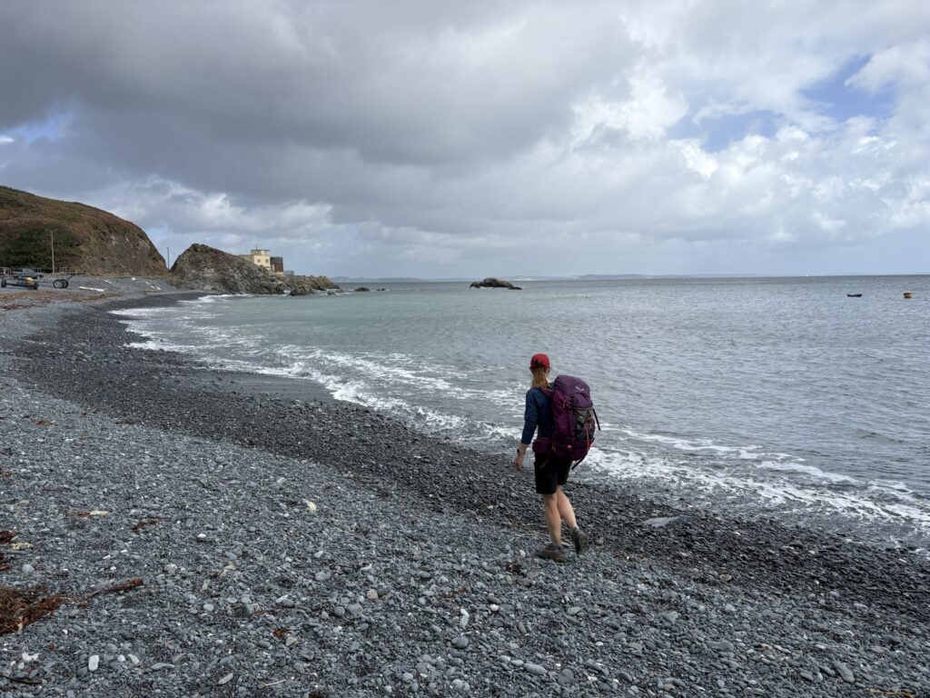
Few people weee around and we walked the easy path and road around the bay into the hedgerows. A guy carrying the same kayak that I own descended the concrete steps to the high tide. The sea was sheltered from the wind that had yet to develop any energy for the day.
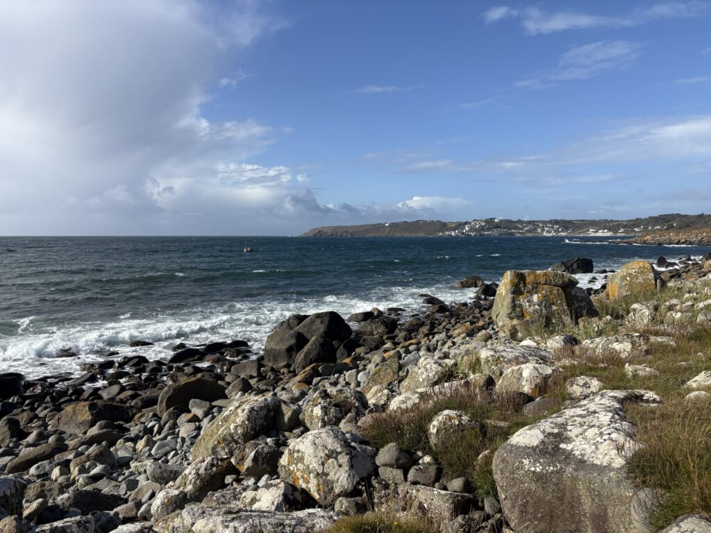
The path cut through hedgerows to Lowland Point with sections close to or dipping to the boulder and stone beach. The coast all the way around to Porthallhow has been cut away by giant, modern quarrying operations. Most are now finished and derelict leaving monstrous unknown concrete structures and retired jetties with crumbling steps. It contrasted with the shore and the small fishing boats picking up pots a little way out. It was a fascinating stroll.
A path had been built by the quarrymen and when you have a lot of gabbro gravel, large boulders and heavy machinery is your day job, you build a path that will probably still be there in a thousand year’s time.
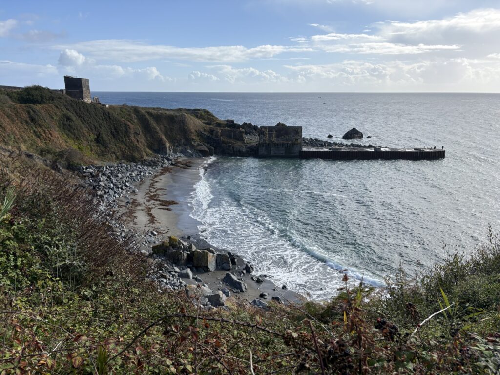
The quarry after Godrevy Cove at Manacle Point does not yet have a path around it. There is a great big blank white patch on the OS map and we had to pass through fields over a hill to get to Porthoustock. From there we could see that machinery still lives in the quarry so assumably is still active, but not on a Sunday morning. Huge concrete structural changes must have been made to the shore of the little village of Porthoustock for the quarry. A large jetty lined the seaward side of the quarry opening and a second monolith sat on the other side of the bay.
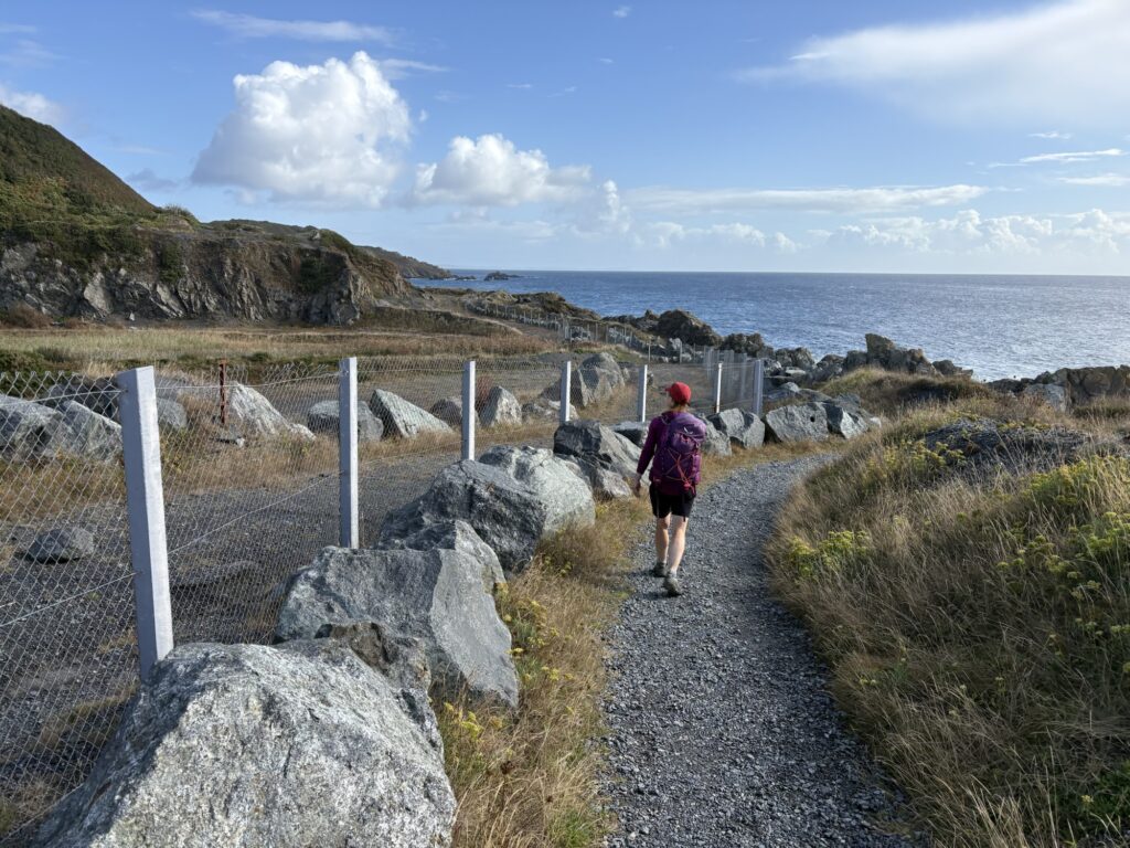
The final headland would also be skipped over following the OS map but the acorns on posts showed us another way between the old quarries and the sea. It took us around to the dive centre at Porthkerris with many people camping and some about to enter or returning from the sea. A large flat area created by old industry has been repurposed. A derelict MOD observation post sat, rusting and fenced off. The sea here was clear and seemed to fall away deeply, quickly.
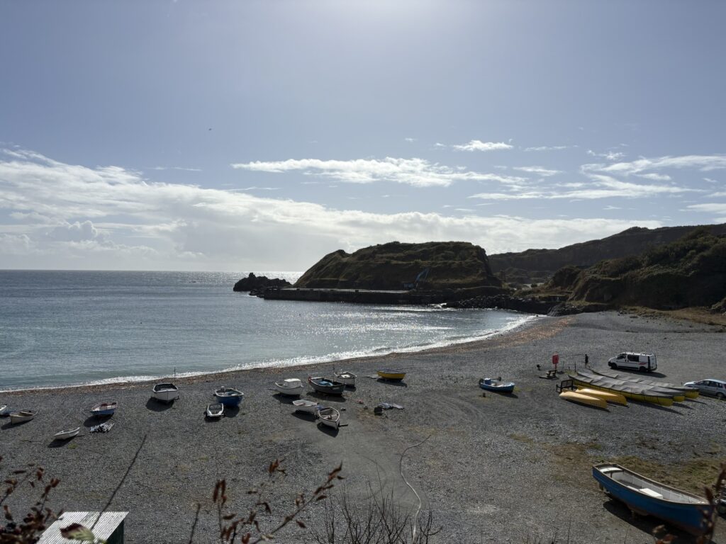
Our target lay around the corner but we had run out of low land and climbed an eternity of steps as the rain caught up with us. We paused under some trees as some of it passed before dropping down to Porthallow and the midway marker of the SWCP.
I feel stronger, more confident and capable after almost three weeks of walking and figuring out each day what to do next. How far to walk, where to camp, when to resupply, what to eat? Basic needs become strong motivators for seeking solutions. At the end of a long day you don’t want to walk any extra metres. You want somewhere to lie down, to be warm and dry, to eat. Sure, there is a whole tourist industry built around the rim of the South West of England but the people we have spoken with have been far more than that. Walkers are part of the coast for locals, but there might be something in the madness of it. Many people say they would like to be able to enter into the madness themselves.
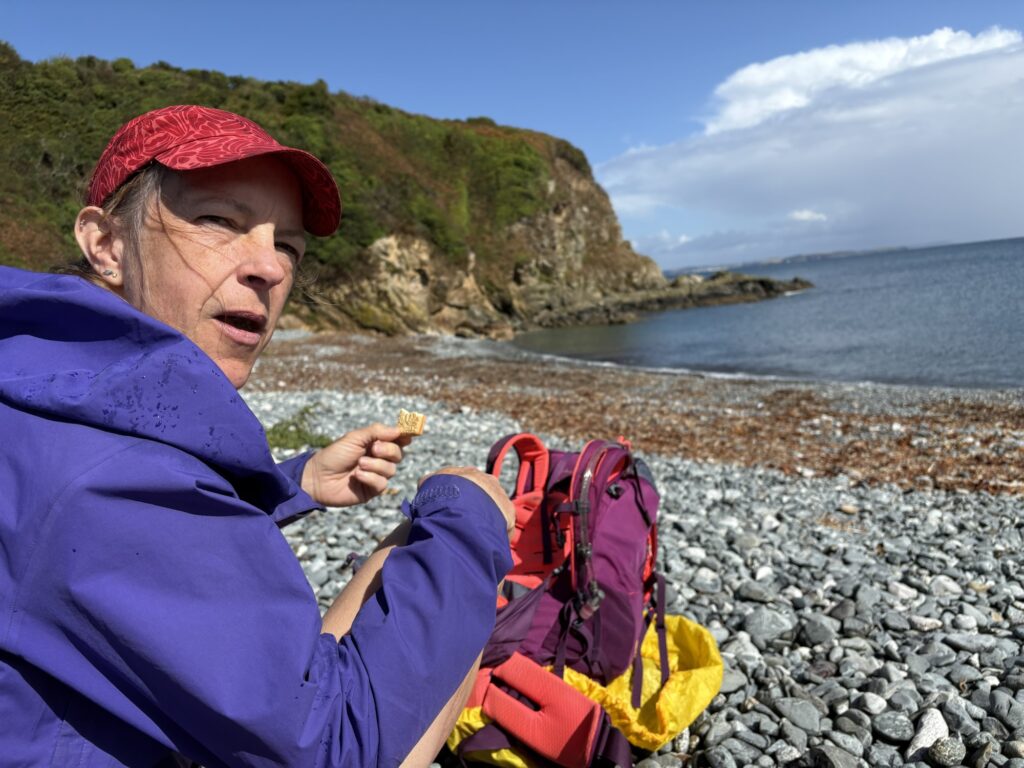
There wasn’t much at Porthallow, which I appreciated, but it was all closed. This is only a landmark to a select few, unlike the geographical novelty of Land’s End. We ate biscuits sat on rocks that were drying and continued on. We still have to get home, after all, and we might as well continue following the path until we get to the train station at Falmouth.
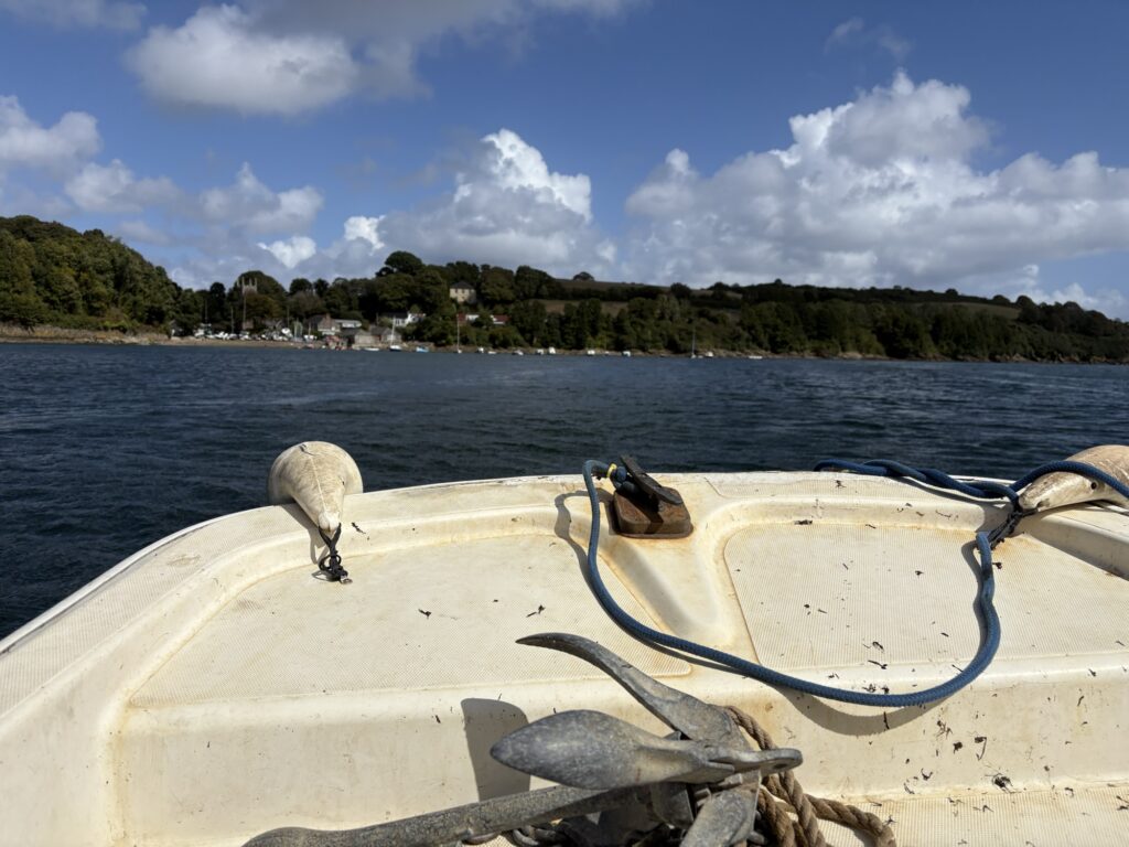
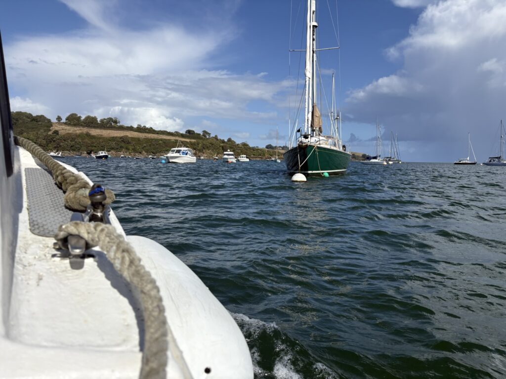
The next bit of fun was to be at Gillan. The coast path on the OS map shows that you can walk around the estuary to St Anthony-Meneage or you can roll up your trousers, take off your shoes and socks and walk across at low tide. A walker we spoke to at camp last night described his crossing to us. For us the tide was still high so we called the ferry from the other shore by pulling open the folded black board to change its colour to orange. The ferryman put down his lunch and crossed to us as the wind blew in gusts out of the river. He waved us over to a lee shore where we clambered on and he buzzed us back to his harbour at St Anthony, standing and weaving through the mooring field. Five pounds each and we added to the bill with cold cans and chocolate.
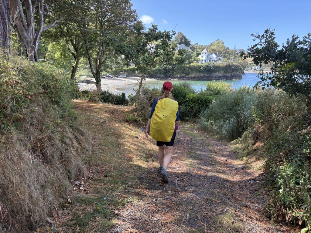
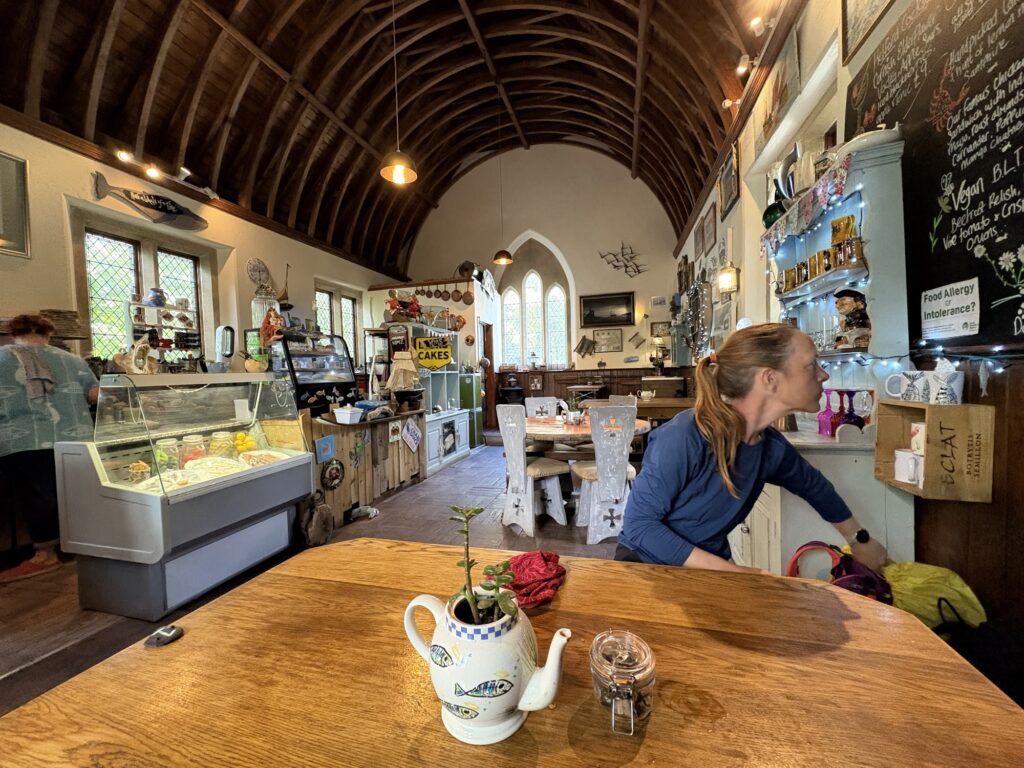
Passing the church we wandered back out of the Gillan estuary to Dennis )Head, around and into the estuary of the Helford river. Hidden coves and bays appeared with just a few people or a single family in each. Boats were moored in the river. The coast path stopped suddenly at the jetty for the ferry. There is no alternative path. The way around is so long that you take the ferry. The ferry runs all day every day from April to October and has been running for at least 1000 years. It is mentioned it the Domesday Book of 1086 and likely had been around for hundreds of years at that point. Before the ferry we came across the Holy Mackerel cafe that was closing soon. Previously a chapel the owners made great fishy food and cakes and shared a unique sense of humour.
A heavy rain shower hurried everyone inside. On our way to the ferry through the narrow street between white painted, thatched buildings built into one another we were recognised. The owner of the Coverack campsite that had only seen me briefly first thing that morning stopped us for a chat. I highlighted all the great things their campsite had for the wet walker after a long day.
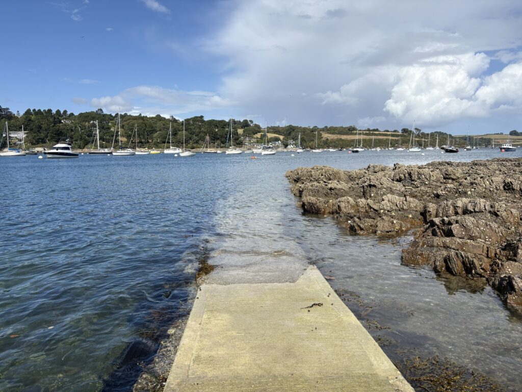
I signalled the ferry with an orange board like the last one. We had just missed him taking people to the other side and he was straight back again. Kim scoured the shingle for ancient oddities while waiting. A local couple also took the ferry over to Helford Passage.
From the ferry we had walked 20km and had another 8 or so to get us to Maenporth. The path was flat and fine with a few short, sharp climbs and took little time. The headlands were low lying and as we came around we could make out the opening of the river at Falmouth and the coast on the opposite shore that we would not be walking. From Maenporth we left the path and climbed the road to the campsite.
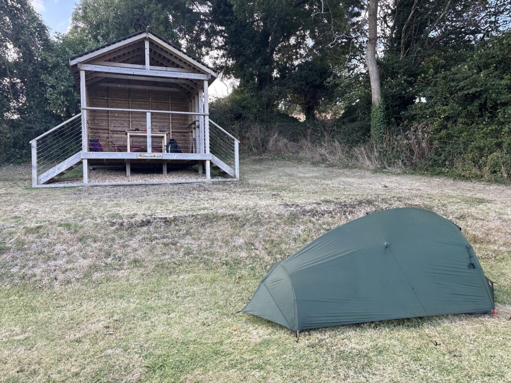
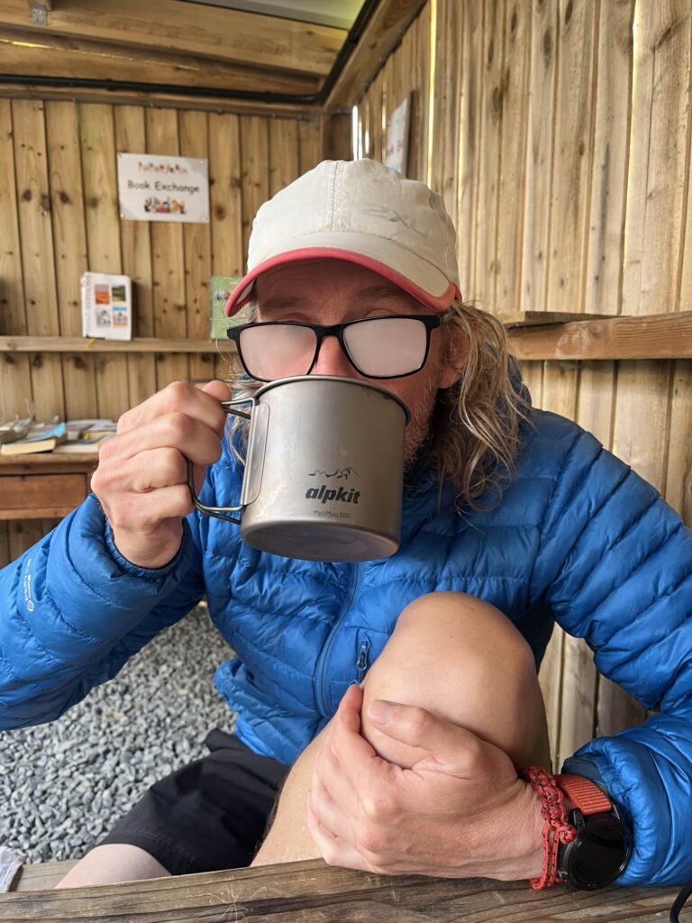
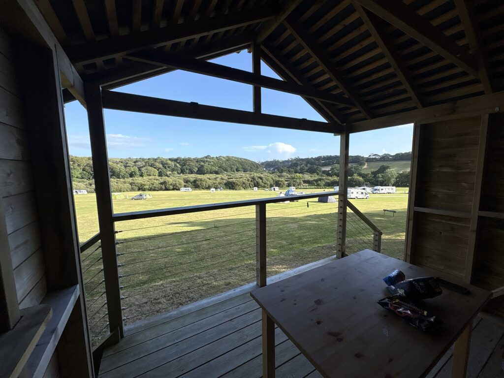
Reception was closed and I rang the number. The owner came to us and pointed to a specially prepared flat section of ground cut into the sloping field reserved only for walkers. Next to it was an open fronted hut to get out of the weather with table, bench and usb charging points. She asked if we would like anything from the shop, opened it for us and we bought the daily biscuits, crisps and chocolate. Amazing. This will be our last campsite. The shower was like a hot Niagara Falls.
29km and 982m of ascent.