We knew it was going to be a long day. After St Ives the coast is raw. No beaches, no surfing, no cafes, no pubs, no campsites. Paths and a few car parks. Camping just before Hayle we would need to walk to Hayle, up its estuary to cross the river, back out again, into St Ives, brave the hordes, out again and then it’s at least 14 miles out to Pendeen Watch and its lighthouse. But if we could do that, there’s a campsite and we would be in the perfect position to get to Land’s End the next day. Walking from Minehead to Land’s End is one of our goals for this trip. Everybody has been telling us that the path after St Ives is hard.
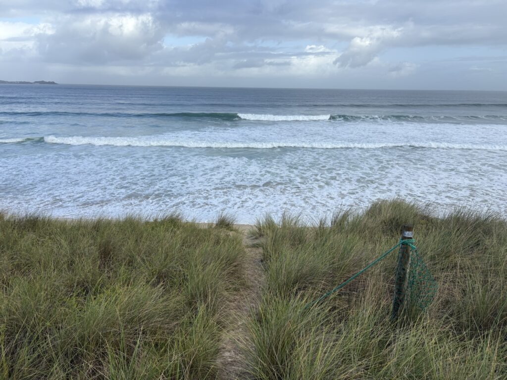
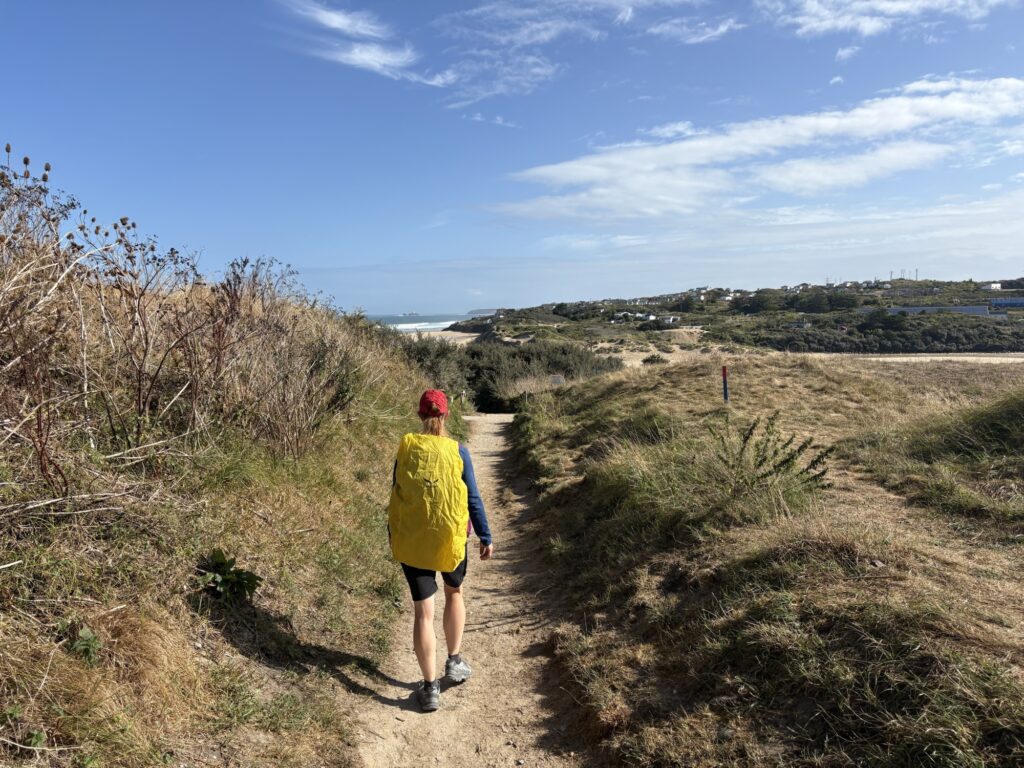
Waking to the sound of surf from the storm raging out in the Atlantic pounding Mexico Towans (the name of tbe beach) we soon sorted ourselves out and were off as light rain began. We re-entered the dunes and continued the coastal path game of seek the markers to find your way out.
We could see St Ives across the bay but were turned away from it by the estuary leading us around and in towards Hayle. We missed a marker and ended up on the beach, but found our way out up a soft, steep sand dune to the path.
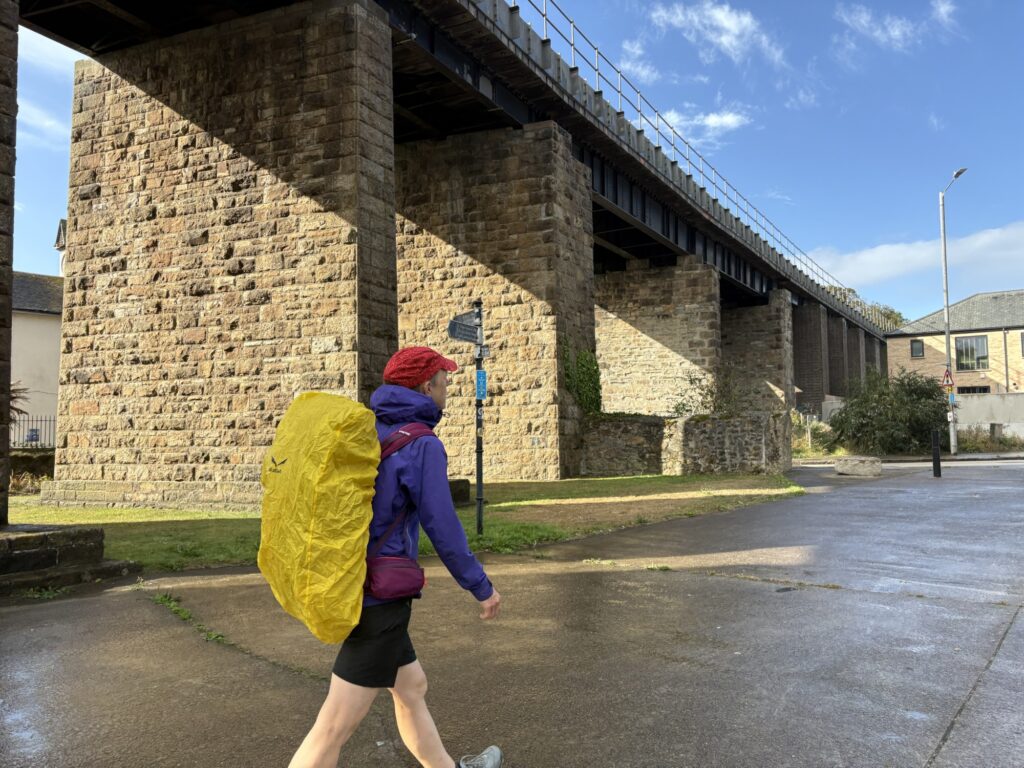
We followed the edge of the harbour, new home builds in progress and old boats being cared for. The railway ran along much of the route we were to take and had some excellent bridges. The Asda on the quay is a surprisingly impressive building.
There was a pool dammed by a high surrounding bank and the estuary is a wildlife preserve. The walk was part path, part pavement with a busy road crossing but after bridging the river it entered pleasant new housing estates and passed giant mansions. At the top of the estuary three herons stood together still as three old wizards contemplating.
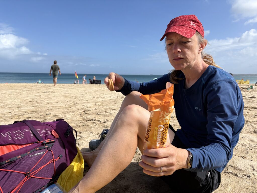
Passing through a golf course and alongside the railway, sometimes crossing it, we followed the coast path to St Ives. The path was busy with people wearing neoprene and carrying surfboards keen to take advantage of their predictions as to where the best waves would be given the storm and swell direction. We stopped at Carbis Bay having walked 10km to take off shoes and socks and eat biscuits. Tarmac had already tired our feet.
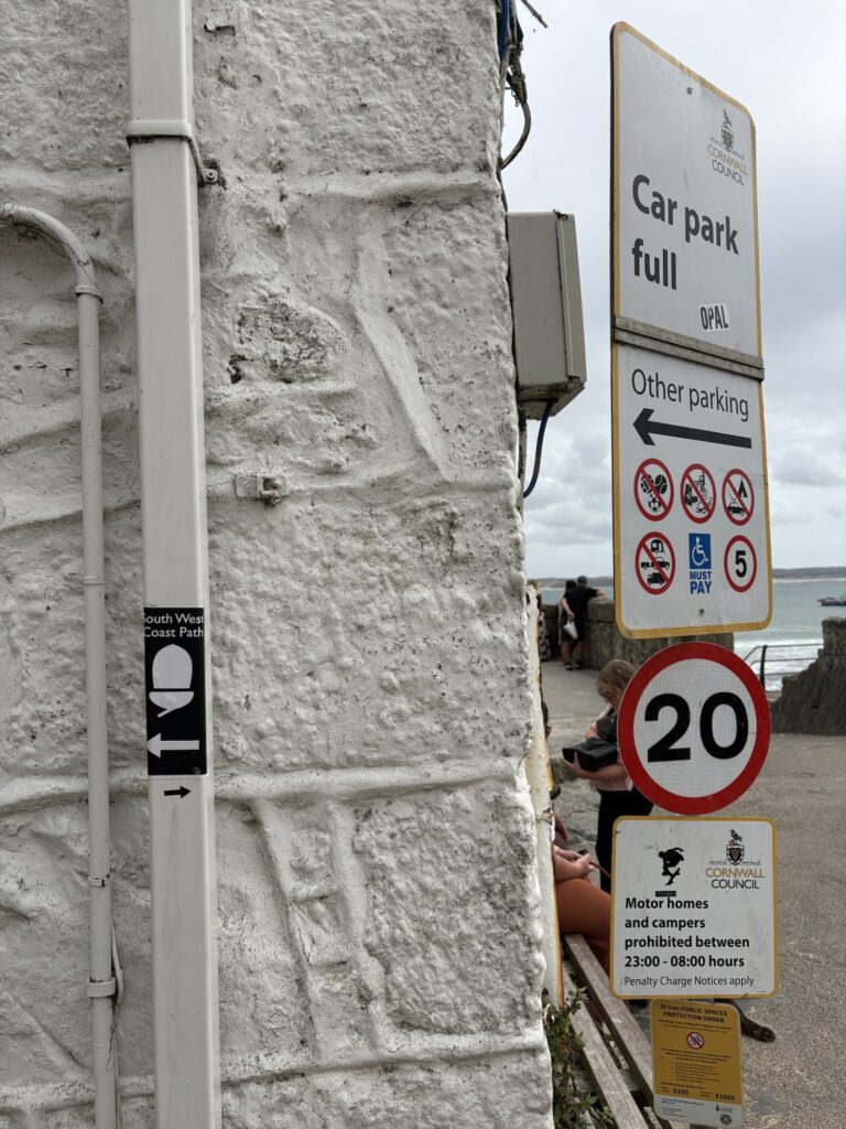
In St Ives we sat for lunch on the harbour wall, Kim placed her pasty (in paper bag) on birdshit and then managed to spread it around before noticing. A dog yapped in high pitch at top volume 5 meters away, a young child screamed incessantly, a family nearby fed bits of pasty to a gull causing a flock to appear that started giving aggro to anyone that looked like they might have food on them. The family finished by lobbing half a pasty onto the beach which was frenzied by gulls, the half-pasty ending back up on the harbour wall with gulls going mad for vengeance on one another. FFS. We left.
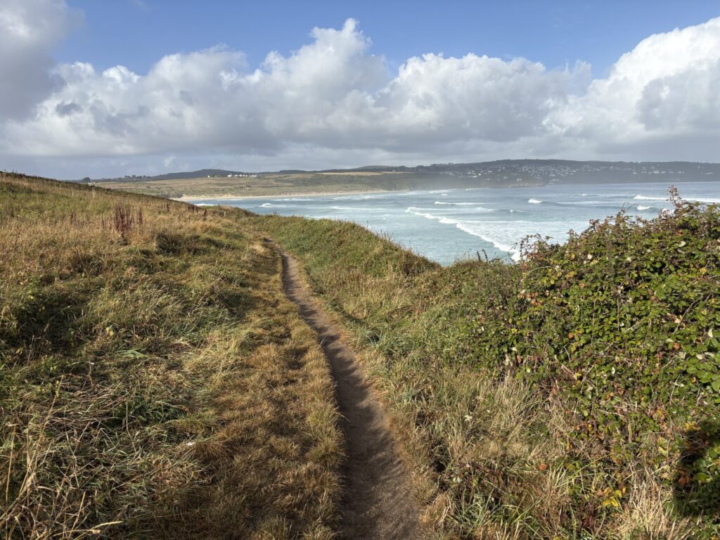
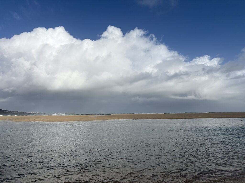
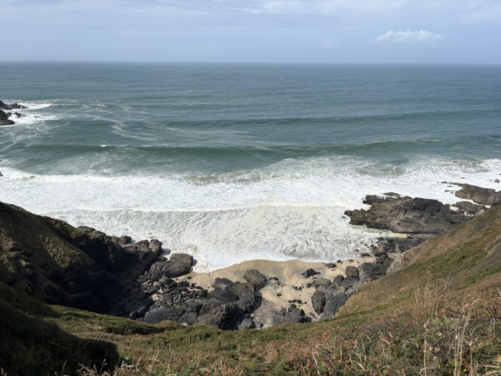
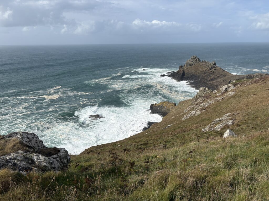
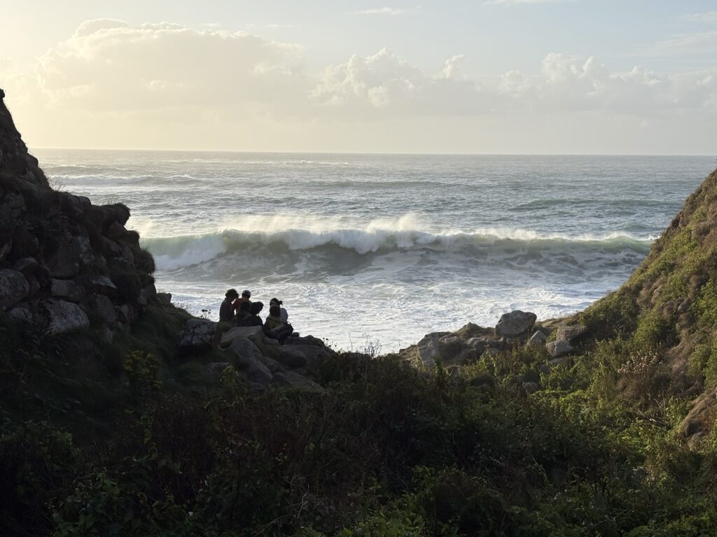
After our relaxing lunch, well fed, caffeinated and relaxed, we headed out on the toughest part of the day. The huge swell crashing on rocks and cliffs had brought many out for a stroll but the further we walked the fewer we saw. The sea was mesmerising, with swells never ending, thumping and crashing onto crags and islands.
We felt that maybe the path was not so tough. It was very rocky, making footing and finding your way through difficult, but living near the sea, rock climbing and climbing mountains we thought that maybe others were not as used to this as us.
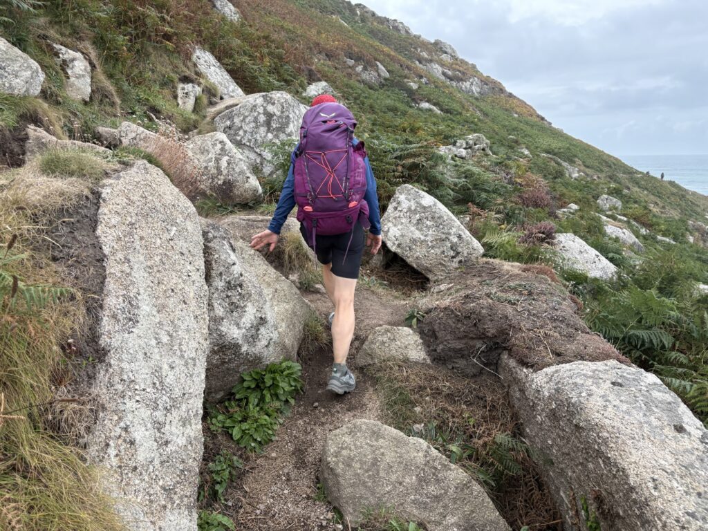
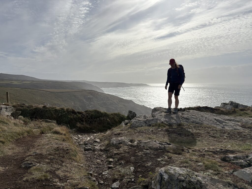
It’s a long stretch from St Ives to Pendeen Watch. It has the usual climbs and dips, lots of rocky paths with boulders and crags. It’s wilder, with no sign of a road. The paths are more like those of a mountain than a coast path. It works away at you as you work away at it.
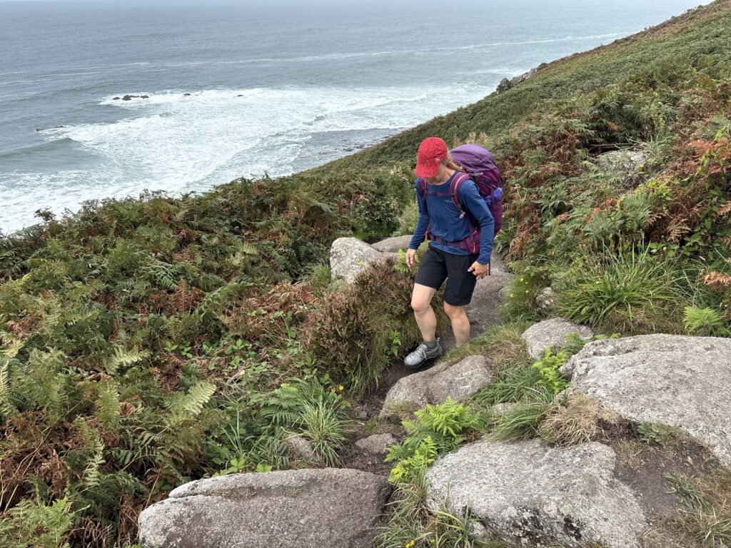
We moved well and quickly, but it felt slow. We stopped at 10km after St Ives to rest feet and eat. The whole coast was being hammered by the sea and you felt like you did not want to miss anything.
Now we were tired. Feet hurt and progressively worsened. Our heads were slower as we walked and attempted the maths to the finish. Bays, cliffs, waves and the sea continued to entertain, but the focus was on the lighthouse and the end of the day.
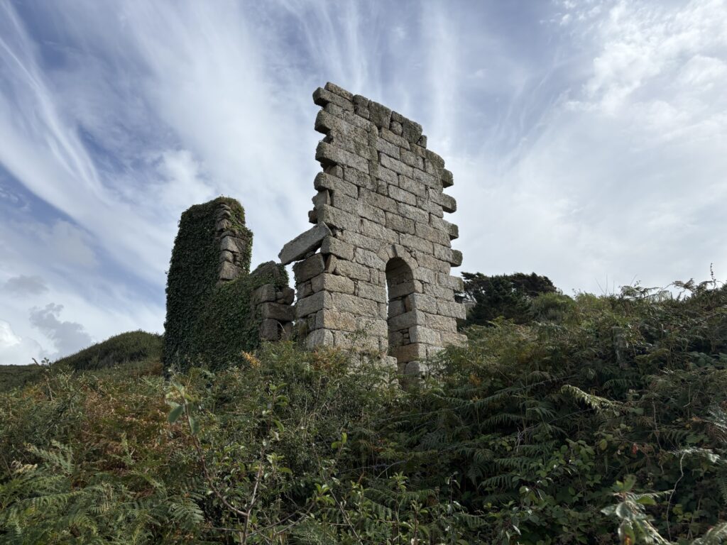
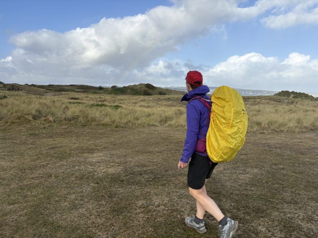
Hoping for paths with less boulders we continued and passed everyone else we had seen. The kilometres ticked off slowly. After Bosigran ridge an RAF helicopter flew in below the cliff tops and made circular manoeuvres. A bit of a heavy day to be dropping commandos in to climb the ridge.
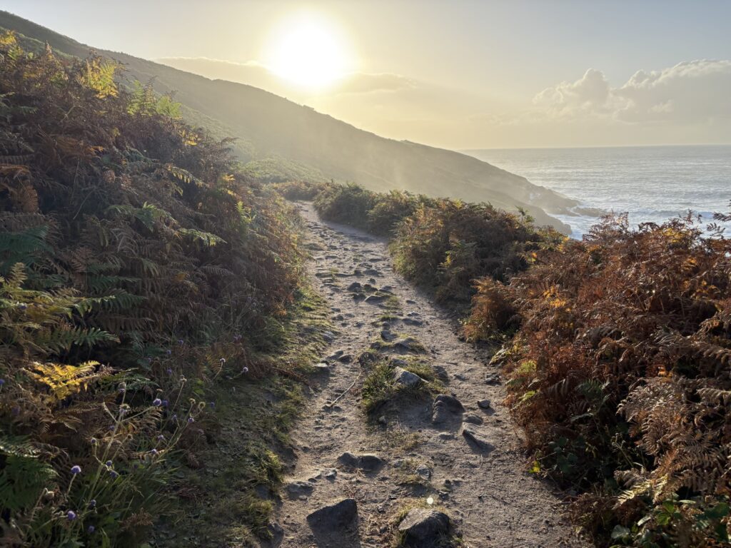
Towards the end the path did smoothen and straighten a little. When we saw the lighthouse from across the bay we knew we had made it and with an hour before dark. Much of that time was then spent marvelling at the giant surf smashing into Portheras Cove.
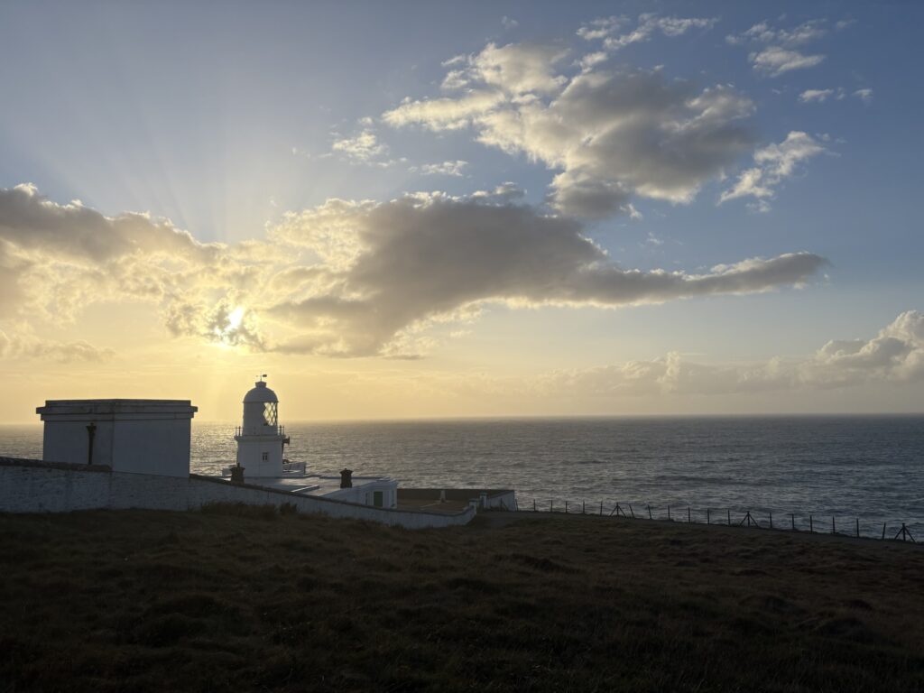
Slowly we climbed around the headland and up to the lighthouse itself. The campsite could be glimpsed a few hundred metres down the road as tent tops and vans. A long day on the path but almost none of it was wasted, as campsites at the start and end lay on the path itself.
We knew it was going to be a long day. We walked for around 10 hours. Again the path paid us back with a spectacular sunset finish on a thunderous sea. You have to put yourself out there to see it sometimes. We were pleased to have finished and excited to be less than a day away from Land’s End after walking for 15 days.
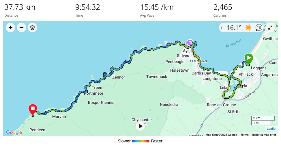
37.7km with 1341m of ascent.