A word I’d like to live up to is “capable”. “Having the ability required for a specific task”. When suffering in racing or training one mantra recited is, “one day I will no longer be able to do this but today is not that day”. I feel these are enough reasons to try. And when I can no longer do that thing I hope I will be able to find another thing.
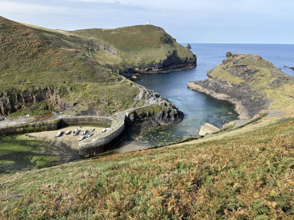
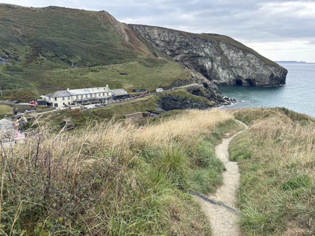
The sun was suggesting an appearance when packing up tent and gear. Leaving the campsite it was back and encouraging us to go to Boscastle. Aggressive cliffs, blue-green clear sea and caves littered the views beneath the coast path. The drops and climbs are getting shorter and after an hour and a half we were sat in the cafe in Boscastle with a fancy toast and cappuccino breakfast. The harbour in Boscastle is from the 1500s, and like the other harbours around here, it’s one of the few safe places for boats along big stretches of wreckers’ coast
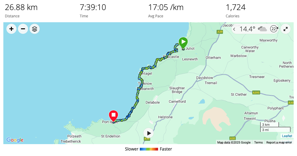
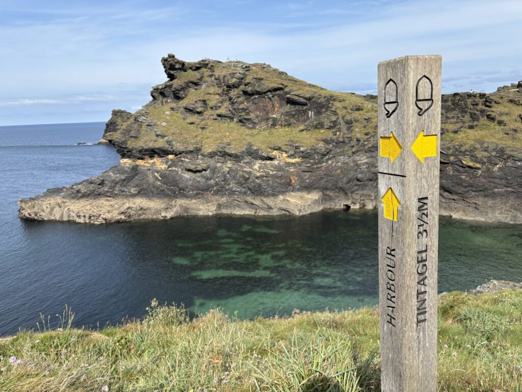
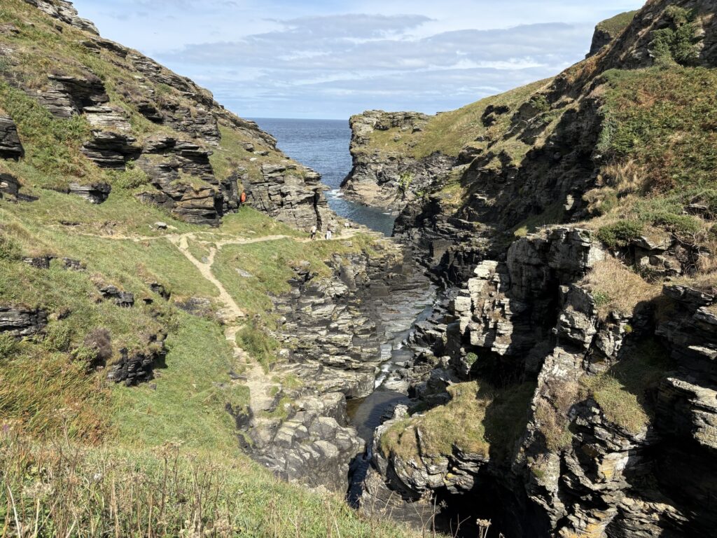
Climbing out of Boscastle we pootled along on the level of the cliff tops. Level relative to recent days anyway. The coast line to Tintagel never stops with tying to keep you entertained with caves, sandy bays, cliffs, points, improbable rock formations and eventually the Rocky Valley. This is a miniature canyon carved, funnily enough out of a rocky valley, by a stream dropping out of sight into the sea.
Tintagel and the supposed birth place of the legendary (mythical?) King Arthur came into sight with streams of colourful people running over, around, behind, back up, through and into Tintagel Head. We were caught up behind lines of families speaking all of the European languages. I spent 20 minutes practicing my German listening behind one group and failed to make a passing grade.
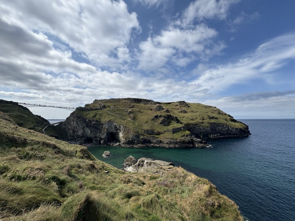
The crowds encouraged us to skip the expensive trip to the head. We have visited before and the coast path doesn’t go out there anyway. A lunch of overpriced coffee and sausage rolls with screaming children.
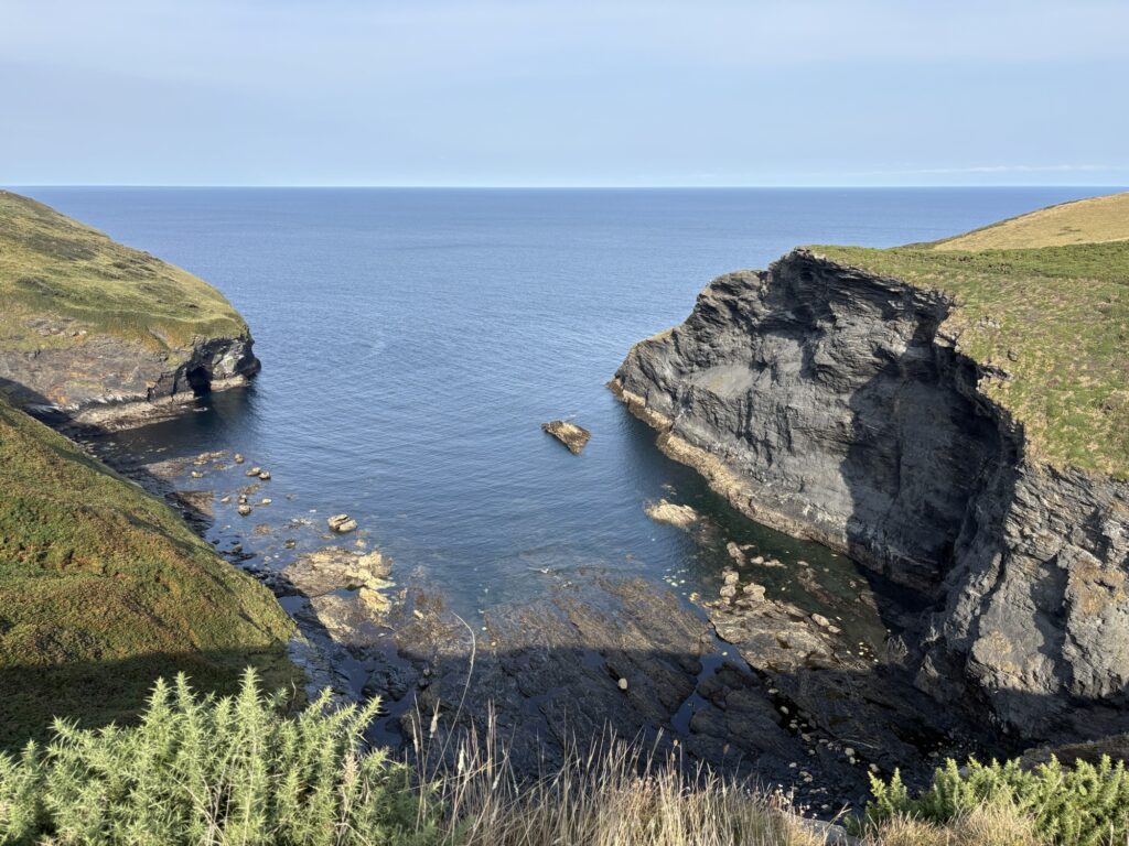
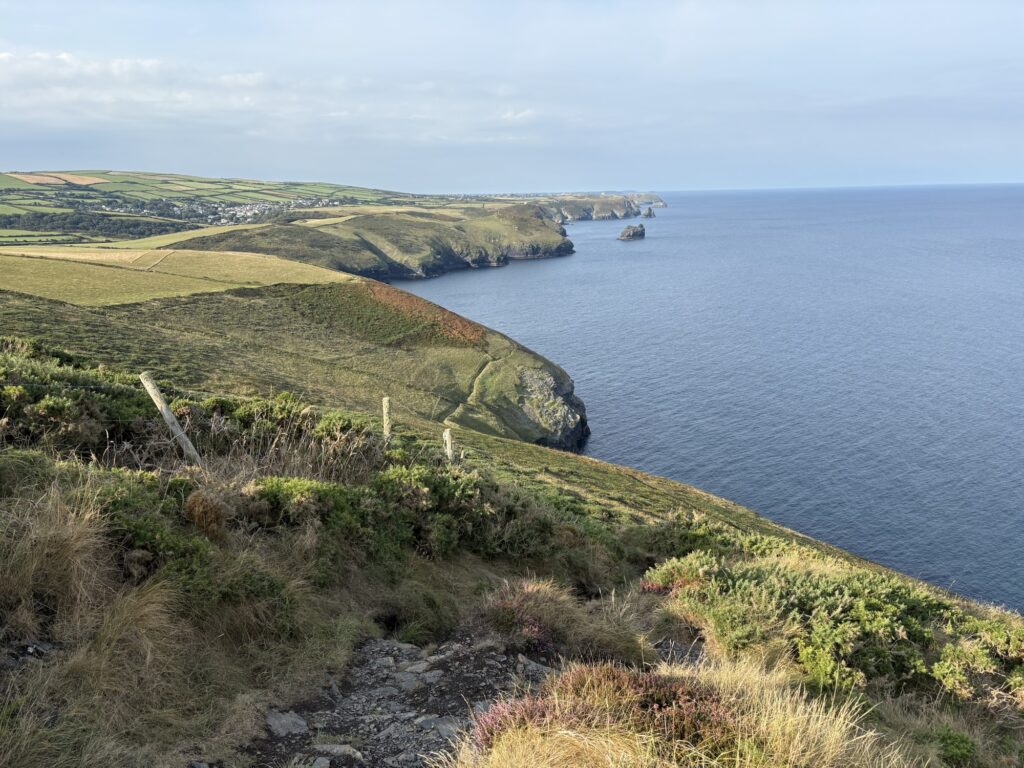
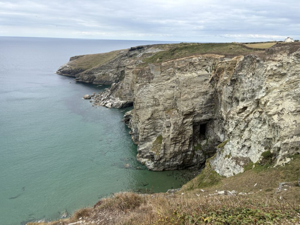
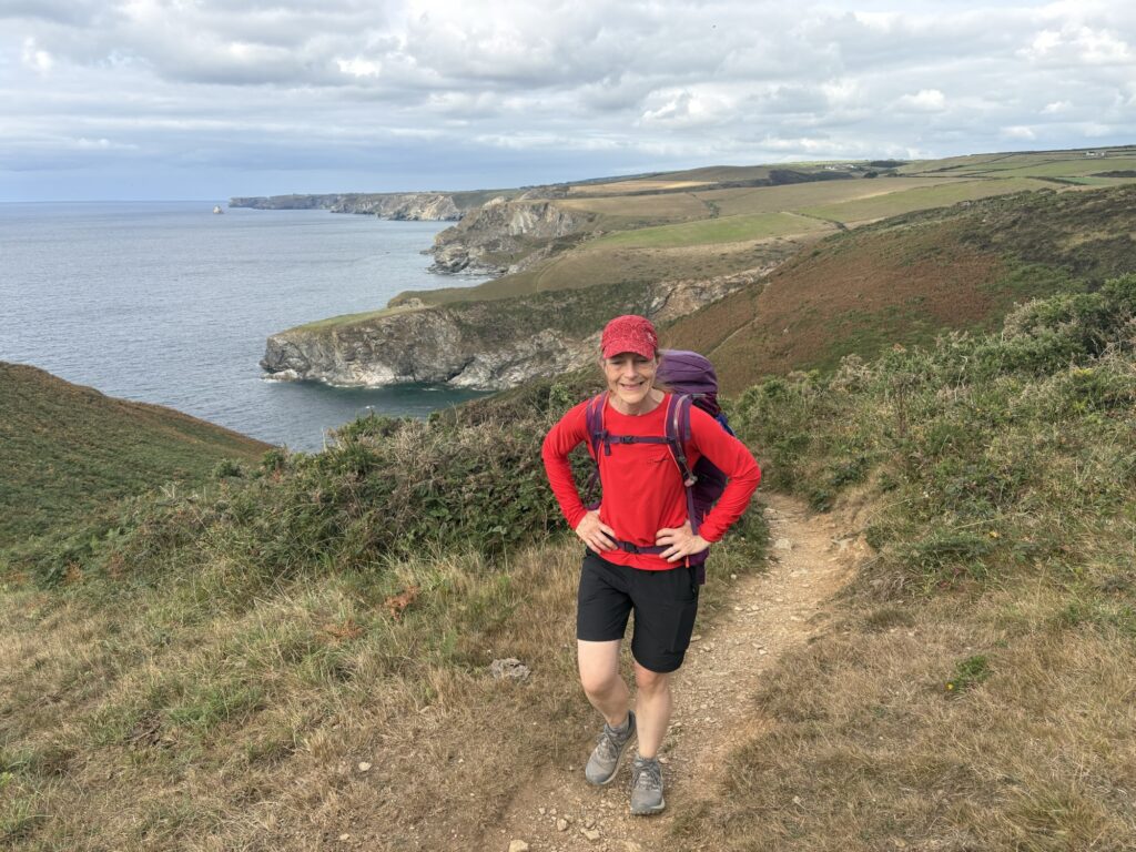
Up from Tintagel we were treated to a far quieter section on more cliff tops with old quarries, mysterious holes, stacks and tunnels disappearing into the hillside. The sea continued to be blue-green, shallow and clear. Sighting past Gull Rock and comparing to the Ordnance Survey map we picked out our target of Port Gaverne in the distance adjacent to Port Isaac.
A drop to Port William and Trebarwith Strand was too early for a stop. As we worked our way up the hill out a lad ran past us on a time for the top and fairly fell back down again as we were still on our way up.
And then Kim picked up live ammunition. Or at least that is what it looked like. We climb at Pembrokeshire so we read the signs and the briefing information that says when traversing a live firing range don’t pick anything up. When Kim walks she studies her feet and interesting things end up in her (or my) bag. We were not on a firing range. She picked it up.
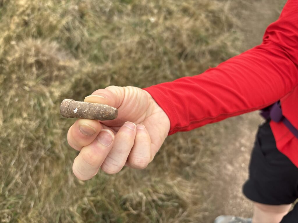
I’m not carrying that to somewhere safe. It went back into the bush away from anywhere humans might come across it again.
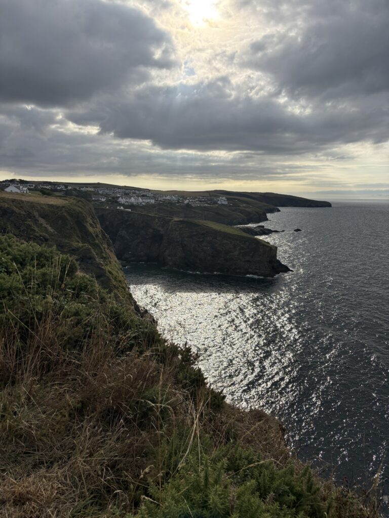
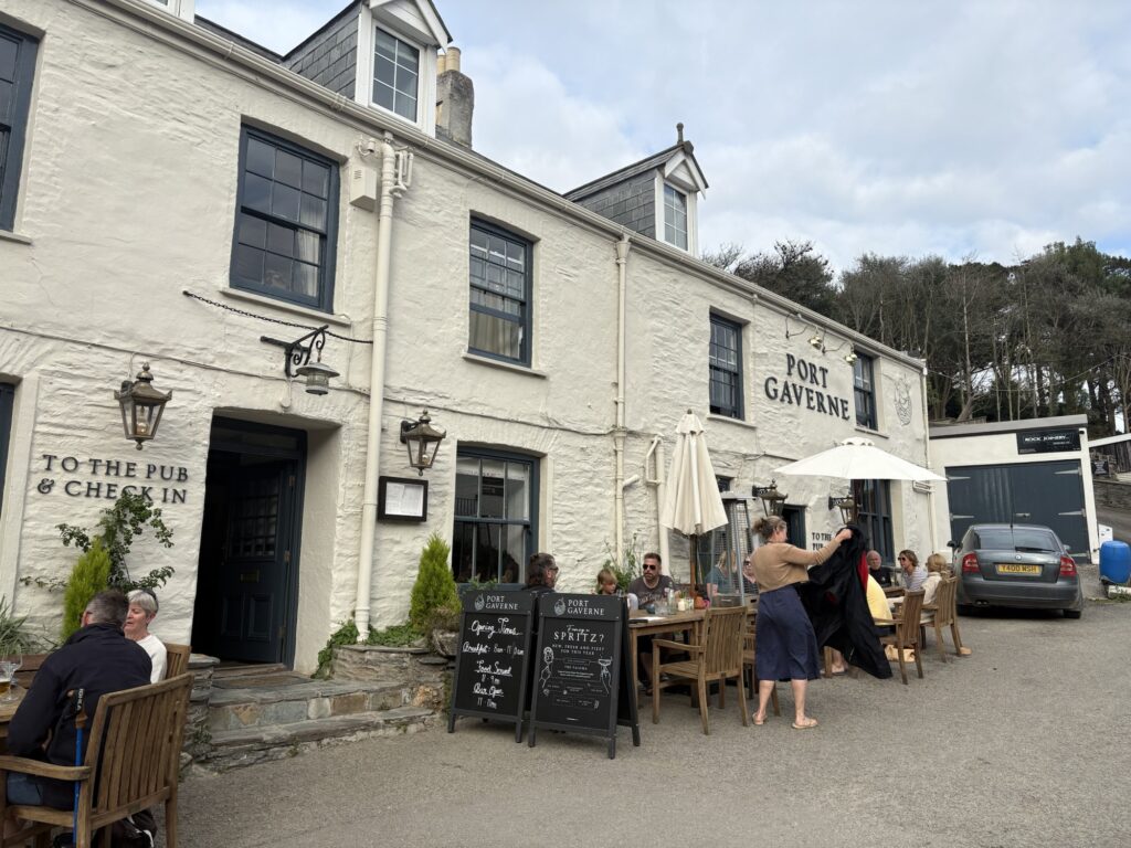
The final section got back to its old habits of dips and steps, with a strenuous finish. The sun came out and greeted us to our destination. The coast path dropped us gently into Port Gaverne right at the pub icon on the OS map. The bartender welcomed us and sent us to our room to clean up, before returning to prop up the bar, eat in the restaurant, and prop up the bar again. Then wash our socks.
A bank holiday weekend approaches that may be busy so we started figuring out distances and booking campsites for the next few days while drinking Moretti and Proper Job. What could go wrong?
26.9 and 1221m of ascent.