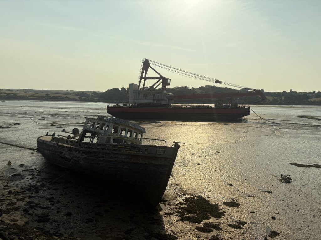
Lovely is a word often not used in favour of more revealing adjectives, but it’s the right word for Appledore. From our campsite north of Bideford we dropped back down to the shore and followed it as much as the shipyards, marine engineering and other industrial businesses let us. More hulls lay derelict on the mud.
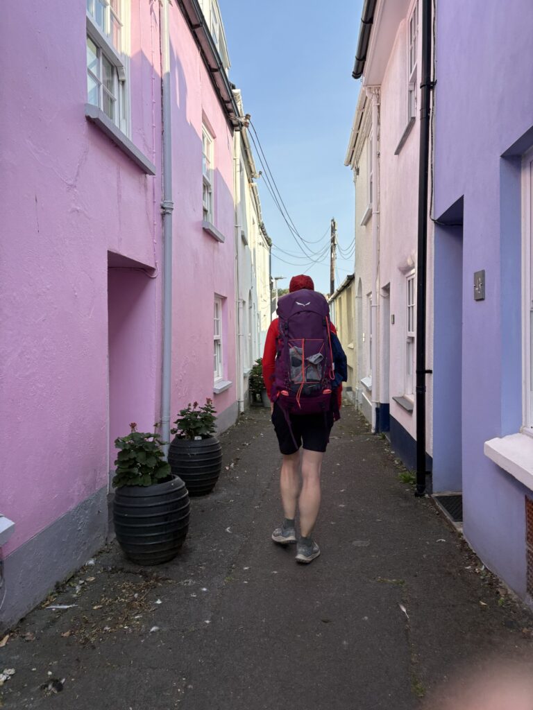
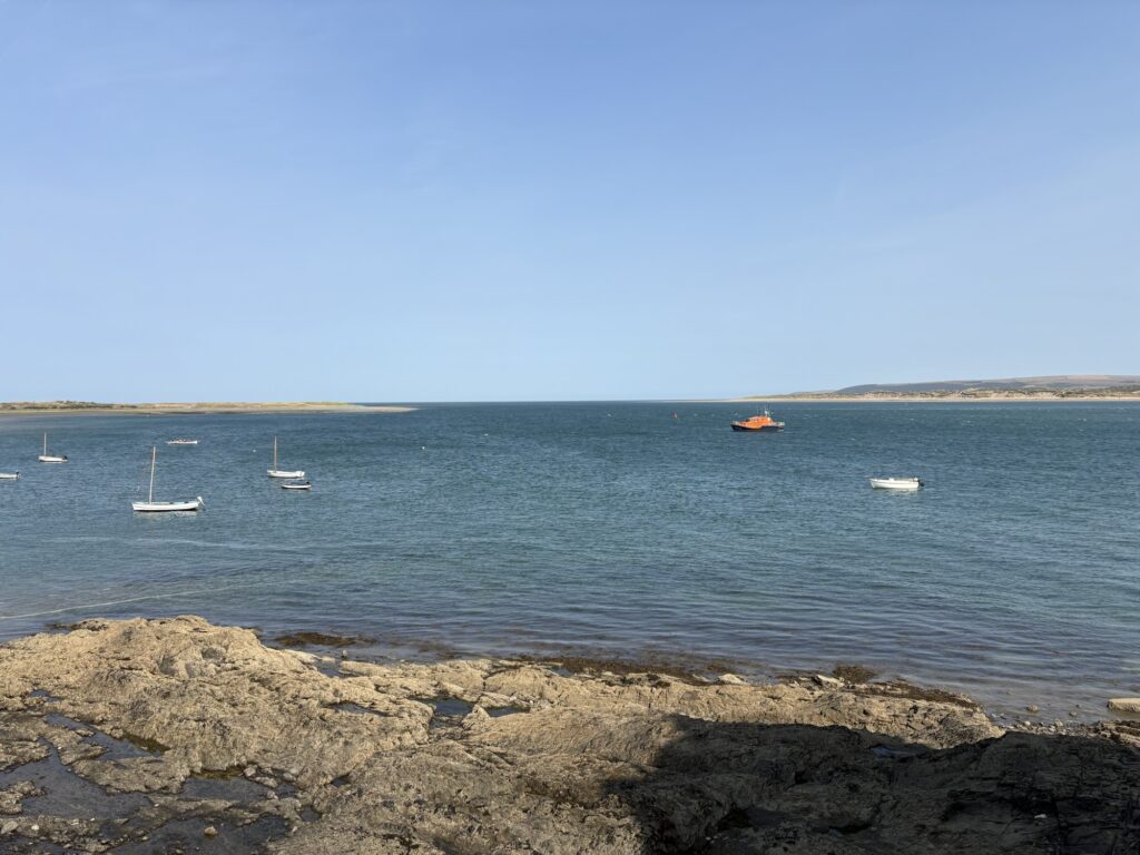
Appledore had narrow streets, cottages from a different time, and a quay with old pubs and slipways. At the top end we were brought close to Braunton Burrows yet again, two days after walking it. A Sunday morning sea rowing crew pulled past in one direction as a wet suited man pointed his dog wearing a personal flotation device in the right direction to start their swim. One swam front crawl and the other doggy paddle. At the buoy in front of the RNLI station he stopped, stood, picked up his dog and pointed her back in the way they had come from and off they went again.
We could see Westward Ho!, a sit down and coffee shops ahead but the trail took us away for another hour around Northam Burrows, again cruelly pointing us at Braunton Burrows. 500m away but 2 days of walking. (The route was good and I would do it again, I tell you straight faced).
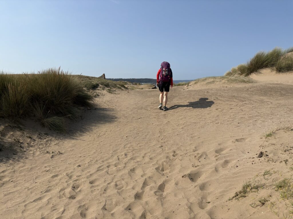
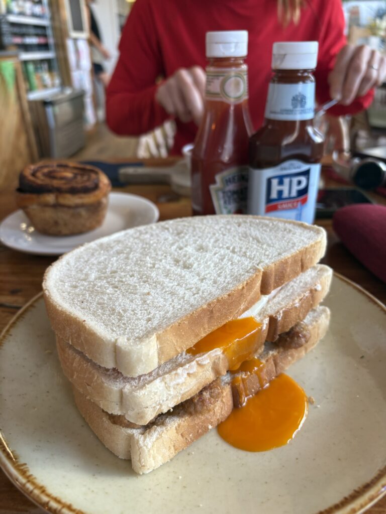
At last, at 11km we stopped for second breakfast Westward Ho! Is looking very modern these days. We didn’t rush and when we left we began the huge curve of coastline running out to Hartland Point showing off its rising cliffs and suggesting more dramatic Atlantic features around the distant corner.
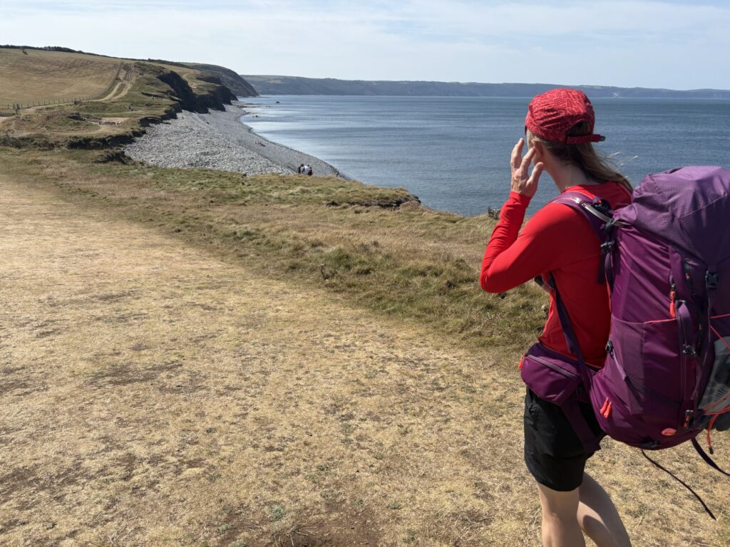
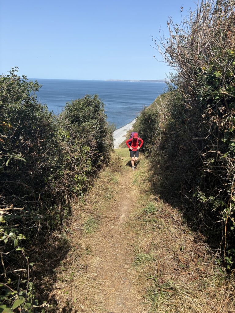
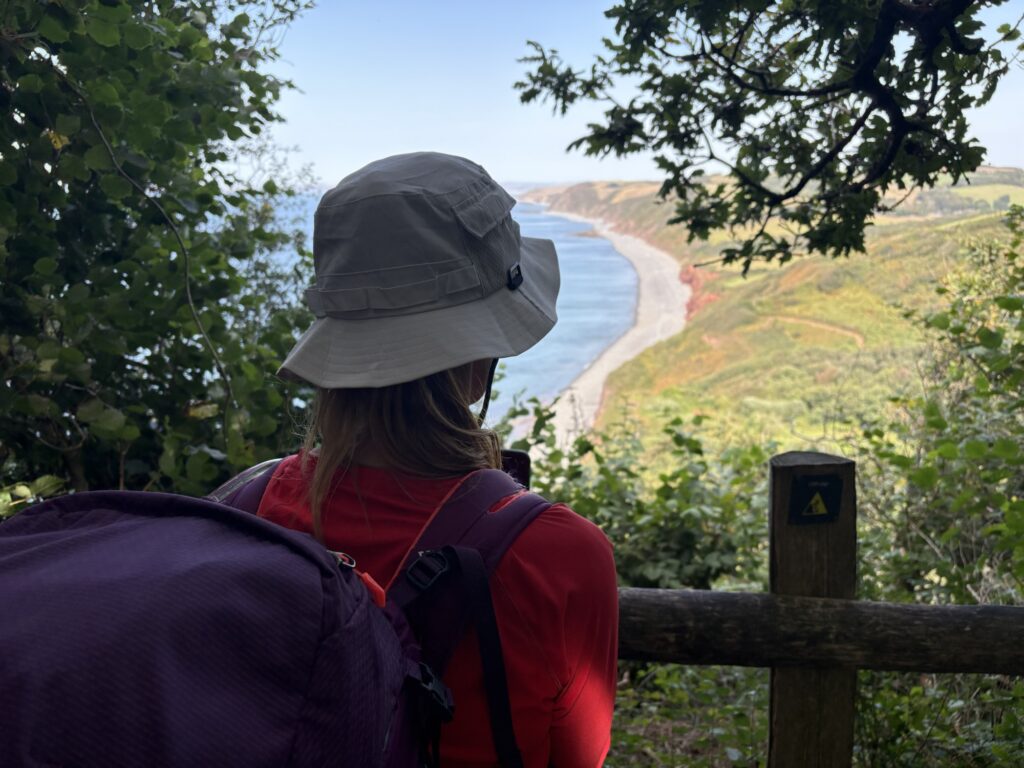
We had been warned by friends that this section would be tough. We had been warned by the path guide that the next section will be tougher. The sea was clear and blue with sand, rocks, weed, nooks and crannies lit by the high sun. A pebble and stone beach ran all the way around the bases of cliffs and gullies as far as we could see. The only break in the cliff looked to be the steep hillside village of Clovelly above its ancient harbour far in the distance but only partway to Hartland Point lighthouse.
A classic coast path it rose and fell with nothing like the heights of the first few days. The wind kept the heat off but on climbs the slope pushed the wind away. Flies that could not handle today’s airspeeds hid in sheltered sections waiting to harass sweating walkers. Shade was better than wind, wind was welcomed at tops.
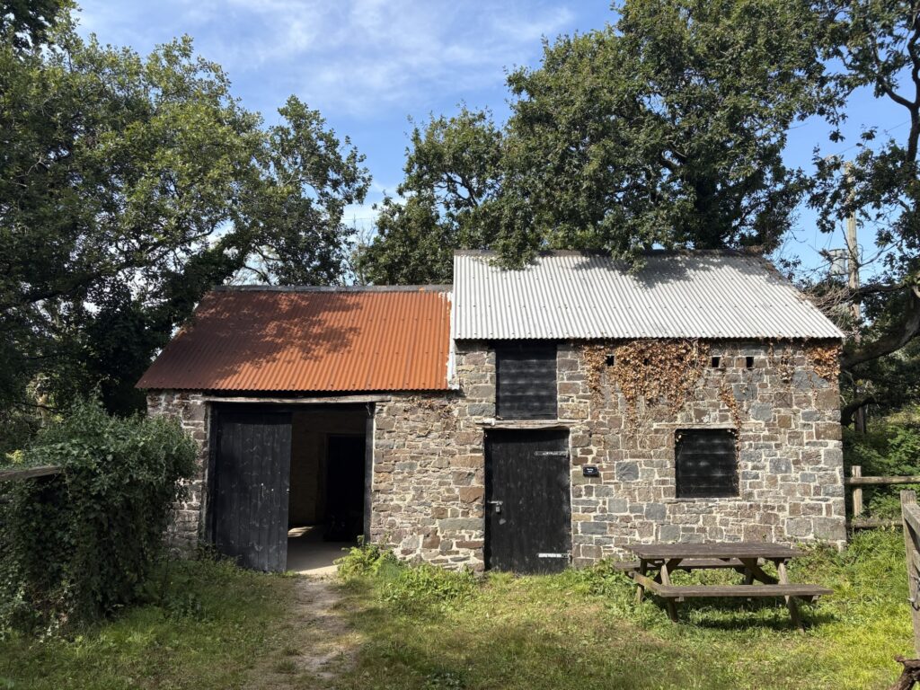
From kilometres 10 to 20 discomforts sneak out and become more brazen with their attention seeking. Soreness in soles and your backpack doesn’t seem to sit like it did. We dropped down to Peppercombe and some woods finding the National Trust looking out for us again with an old log store made available for shelter. We sat on a bench inside for shade, feet up, shoes off, socks off, drinking.
By our maths Clovelly and the end was not far. Less than 10km surely. We climbed out of the valley in thick woods to occasional fields and latterly a wide stony road from a hundred years ago or more now owned by grouse.. The birds were everywhere and attempting a poorly practised collection of evasion techniques. Not moving until they chickened out, ran or flapped. This path kept wiggling and extending itself. I’m sure I had seen that bridge before and that blue pipe.
The third 10km stretch is the quietest. Encouraging notes sometimes pop out but much of this is about moving forward and getting on with it. Tiredness is here whether you have noticed or not.
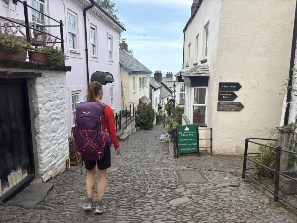
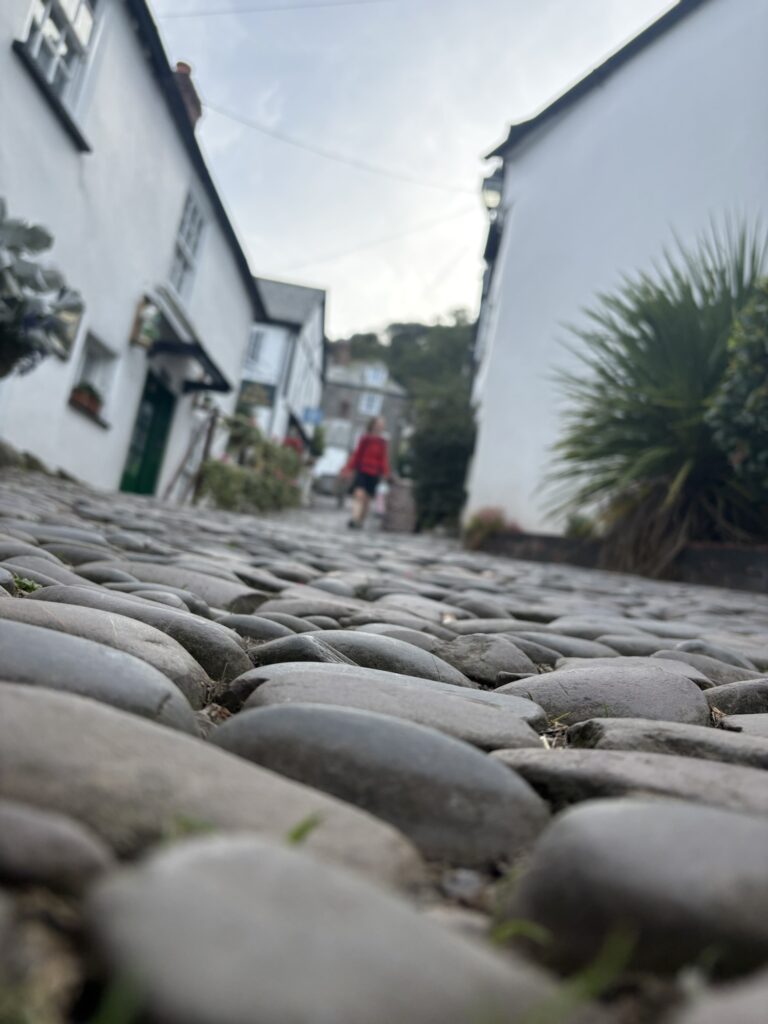
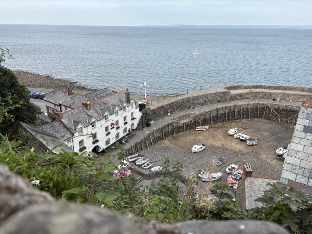
Clovelly appeared at last as it surely had to. It is, again, a lovely old fishing village. A harbour at the base of a steep hillside was the only safe port for this coast for a long time. A working fishing harbour, cottages, pubs, church and whole village was built into the hillside hundreds of years ago. A steep cobbled path is the main thoroughfare linking it all. Over 400 people live here and visitors can pay £9.50 to park and wander down the slope to view this piece of English history. The inhabitants use sleds with rope to pull things from the top of the hill to home, or up from the harbour. They used to employ donkeys but I think the donkeys just entertain the visitors now. As we walked here there was nowhere to pay a fee. At the harbour pub (a Red Lion) we had sugar and caffeine.
We couldn’t put off the walk to the campsite any longer. The climb back up the hill through Clovelly was again lovely, and the tarmac trudge after to another basic campsite was a typical end to our day. The shower was hot.
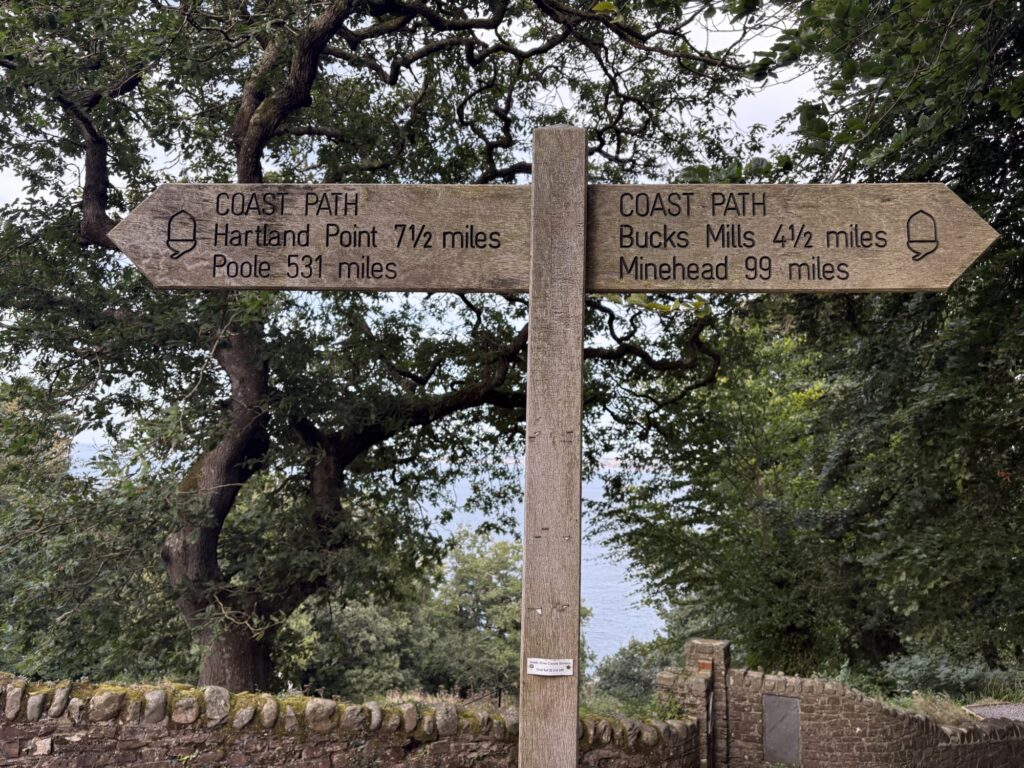
We have covered 99 miles of the South West Coast Path to this point, according to the sign. We have walked farther than that with side excursions and campsites, and the path has changed a little for the King Charles III path. One of our goals is the halfway point at 315 miles so that’s a nice big bite taken out of that over 6 days.
34km and 1164m of ascent.