The second day was harder than the first. It just somehow got longer. And we wanted to look at the lighthouse. Plus that detour from the path to stay at that particular campsite.
Soreness gone from feet and legs refreshed we left the campsite and climbed out of the valley breezily to return to the South West Coast Path.
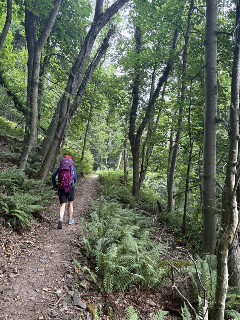
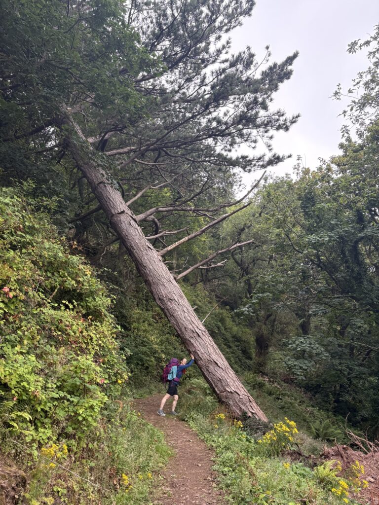
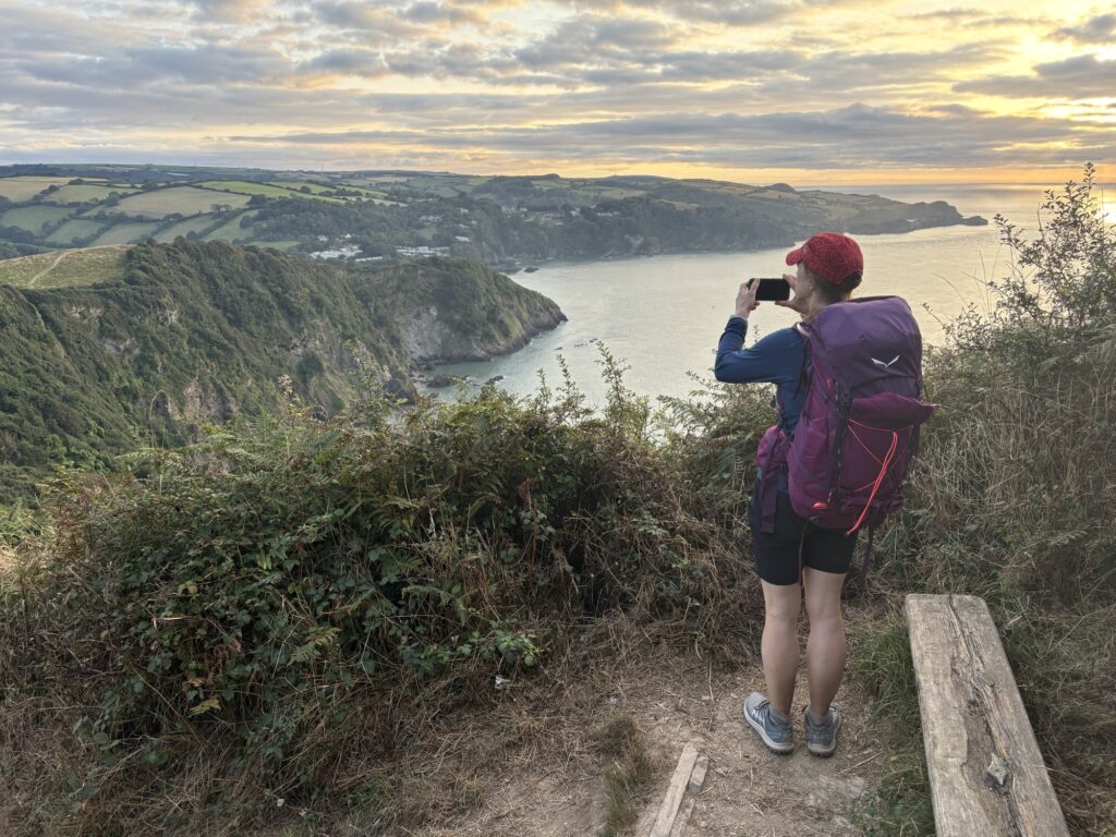
It continued through the thick woods on steep hillside. This is the stuff that we can see from the other side of the Bristol Channel when stood on the Gower. I didn’t realise these hills were right up against the sea.
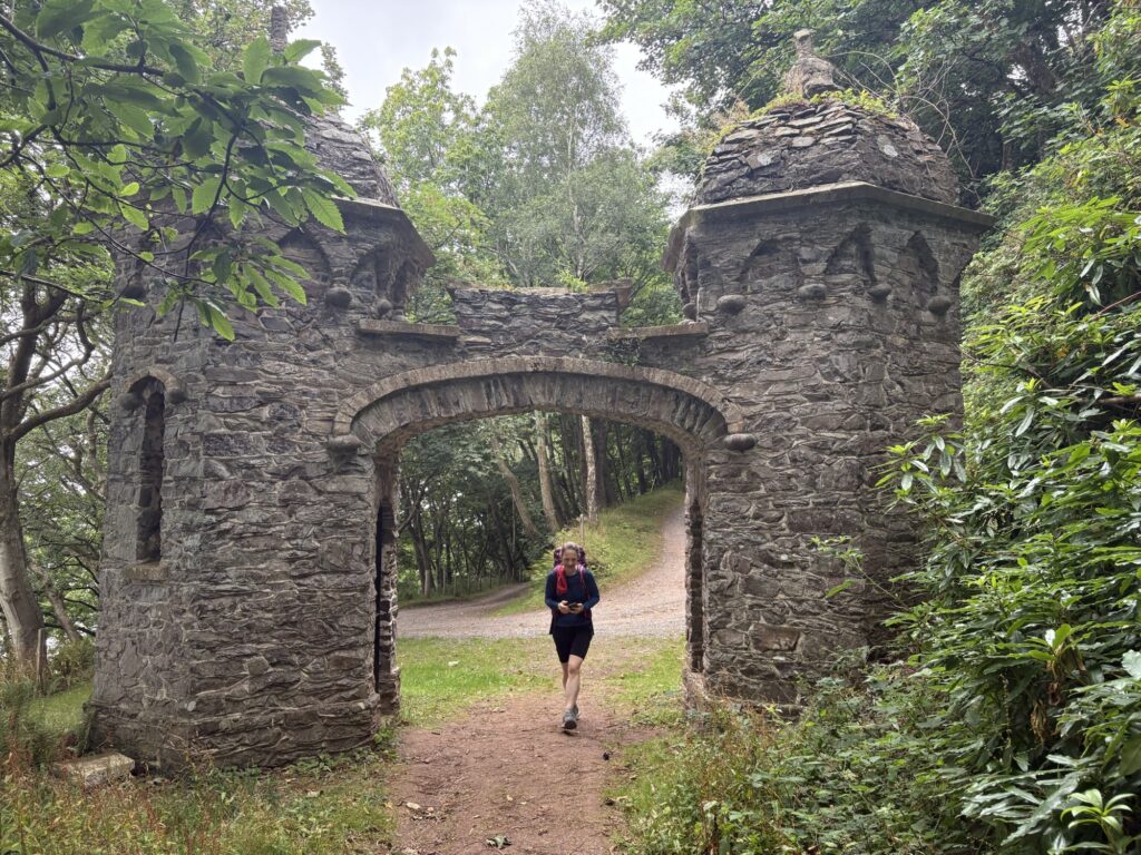
We crossed from Somerset to Devon and there was an old looking toll gate on the path. Is this a feature added to the path or is this path older? These woods are ancient. The proper county gate is further up the hillside at the road.
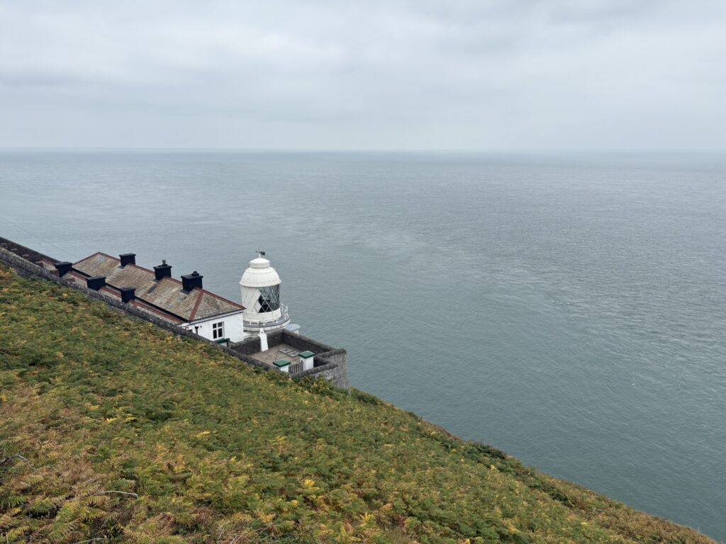
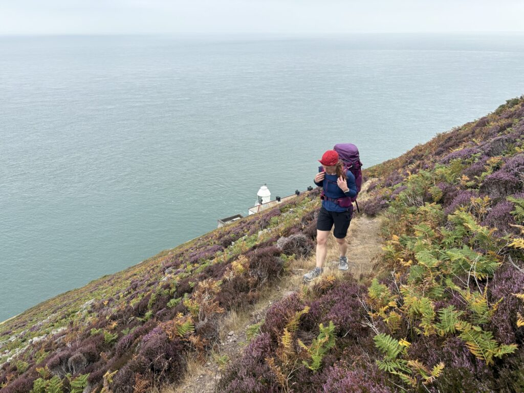
It is a fantastic path that winds around the contour of the hillside with hidden habitations and glimpses of unreachable bays. Almost at Lynmouth there is a lighthouse marked on the map not on the SWCP. We detoured for a look and it was fine, but the climb around the purple gorse hillside filled with bees getting on with their business was excellent.
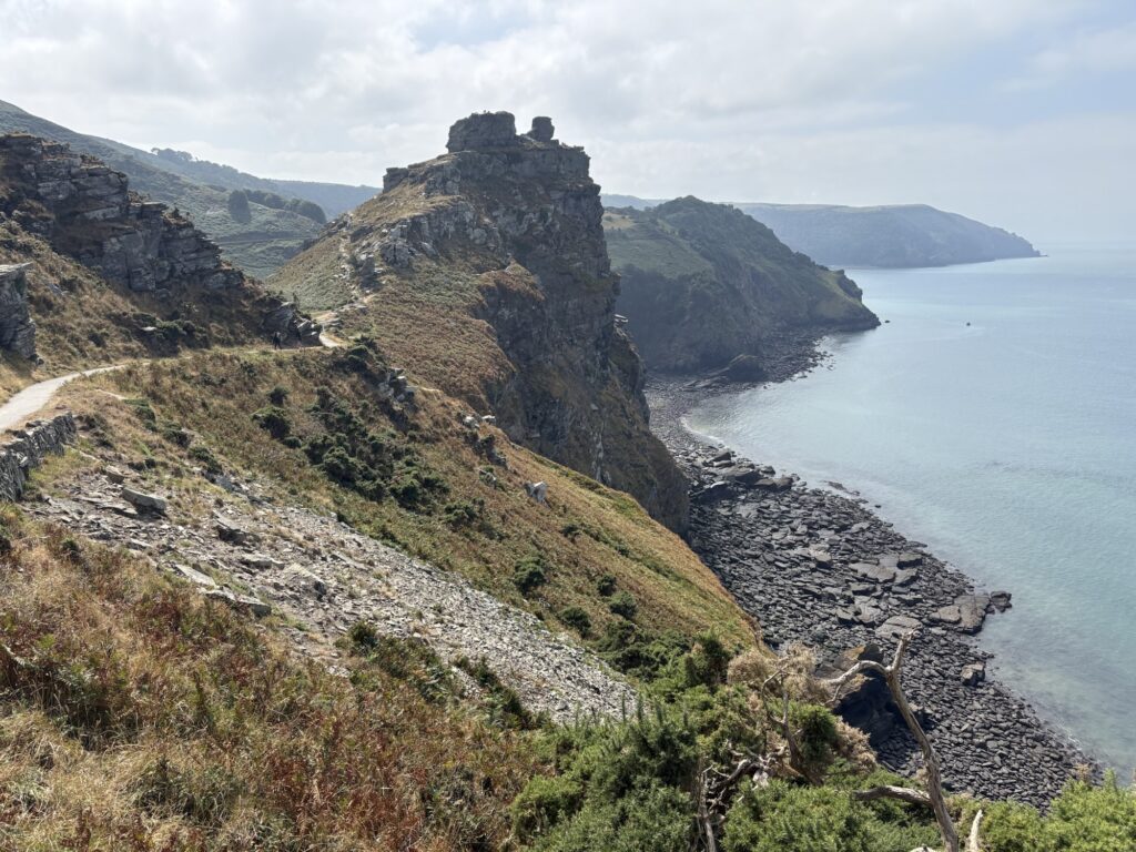
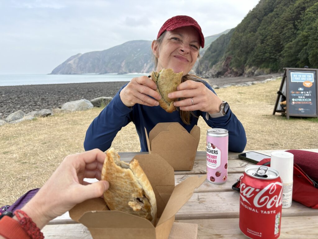
To the top and a long gentle descent to Lynmouth for sugary drinks and pasties. The climb out of Lynmouth is so steep that it has a funicular railway. Out to the valley of rocks (was prettier than expected), a wild goat jumping out at Kim and many miles of either on the contour or across the contour hiking.
We were aiming for Combe Martin as there are a lot of campsites there but it was going to be a long way. This whole stretch of coast from Minehead has been tough. We have been climbing more than some days we’ve spent in Austrian mountains. Up and down. Round the next point. We had scrutinised the map and knew how many climbs were left, ticking them off as we trudged. We could always bail out and wild camp.
Kim was as keen as me to keep motoring along. At the top of the final climb up Great Hangman (I’m not going to ask) we could see our pretty target with its bays and pubs and sticky outy rocky bits and campsites. Three kilometres of descent with tired everything but the sun hadn’t gone down yet.
The campsites marked on the map looked like caravan parks in real life as we descended. Connected again to the internet we searched for campsites and it looked like we would need to walk some more kilometres. Rounding the road we saw the most beautiful sign for caravanning and camping. The time was late enough for reception to be closed but with a contact number on the door. I rang it and yes, the warden would come down and set us up. We were even driven to our spot in a golf cart. Tent up, showered and fed it felt like success.
I can hear an owl in the dark.
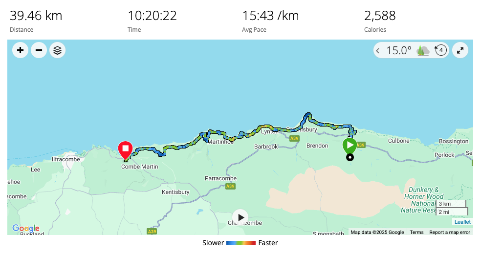
39.5km with 1600m of ascent.